
ASHEVILLE, N.C. (828newsNOW) — Expect gusty winds tonight with light snow along the Tennessee border.
A Wind Advisory has been issued for portions of the North Carolina mountains from this evening into Wednesday morning, according to the National Weather Service.
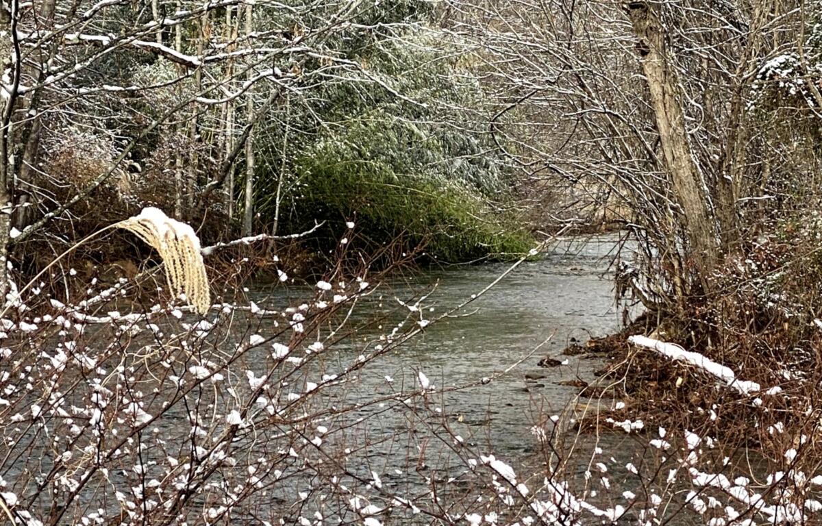
Snow showers are expected to develop behind the front this evening into early Wednesday morning, mainly across the higher elevations of the Western North Carolina mountains, according to the National Weather Service. Snowfall totals above 3,500 feet will mostly range from 1-3 inches. However, higher elevations and locations in the Smokies could see slightly higher totals from 3-4 inches.
A Wind Advisory is in effect until noon Wednesday for portions of Avery, Yancey, Mitchell, Buncombe, Jackson, Transylvania, Henderson, Burke Mountains, McDowell, Rutherford and Polk counties.
The forecast through the weekend, according to the National Weather Service:
Tonight: Mostly cloudy with a low around 34. Northwest wind 10 to 18 mph with gusts as high as 37 mph. Chance of precipitation is 20 percent.
New Year’s Day: Partly sunny, then gradually becoming sunny with a high near 43. Northwest wind around 15 mph with gusts as high as 33 mph.
Wednesday night: Mostly clear with a low around 23. Northwest wind around 11 mph with gusts as high as 23 mph.
Thursday: Sunny with a high near 45. Northwest wind 7 to 9 mph.
Thursday night: Partly cloudy with a low around 26.
Friday: Mostly sunny with a high near 42.
Friday night: Partly cloudy with a low around 17.
Saturday: Sunny with a high near 33.
Saturday night: Mostly clear with a low around 18.
Sunday: A 30 percent chance of showers. Mostly sunny with a high near 41.
Sunday night: Rain and snow showers likely. Mostly cloudy,with a low around 23. Chance of precipitation is 60 percent.