
ASHEVILLE, N.C. (828newsNOW) — Winter Storm Cora blanketed Western North Carolina with snow and Ice Friday before continuing its trek to the east.
Although the storm had moved on by Saturday morning, some snow showers and icy roads lingered in the Asheville area.
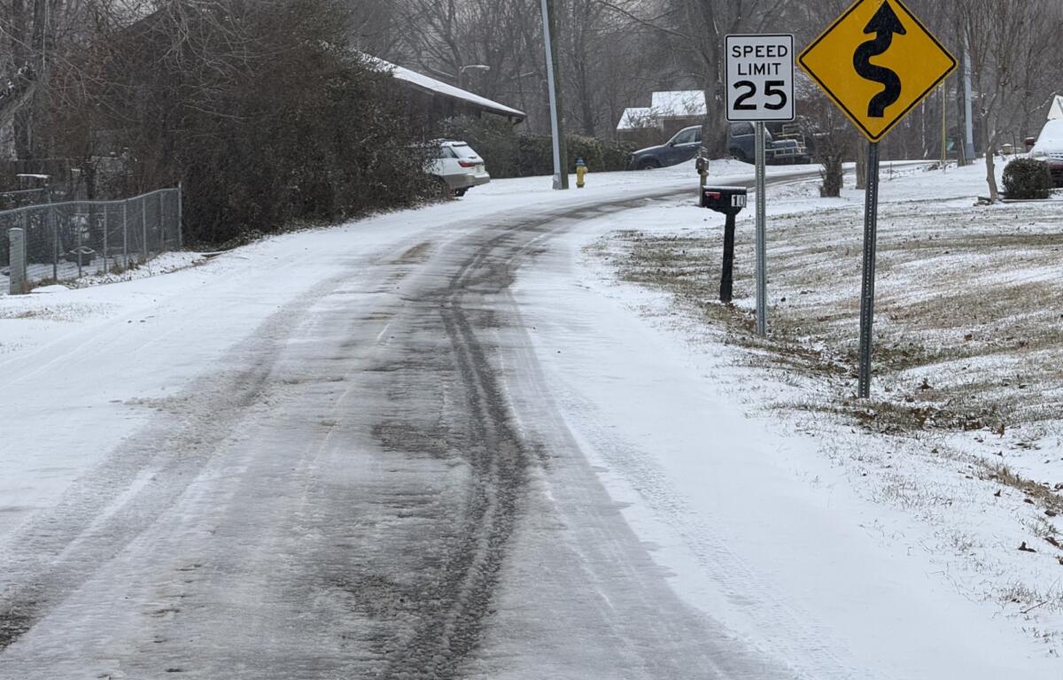
According to social media posts, most secondary roads in the area are still snow-covered but passable. One person said Enka Lake was covered, “but if you go slow you should be fine.”
Sand Hill has been plowed and is good, another poster said.
Leicester Highway and Mount Carmel Road are also in good shape.

The National Weather Service warned that below-freezing temperatures would make driving conditions dangerous as black ice would persist until temperatures warmed later in the day. Please use caution if you must be out on the road or delay travel until temperatures warm. Slow down and leave plenty of room in front of you.
A Winter Storm Warning is still in effect until noon Saturday for Avery, Madison, Yancey, Mitchell, Swain, Haywood and Graham counties.
Additional snow accumulations of 1 to 4 inches are expected, especially in the higher elevations near the Tennessee border. Wind gusts up to 45 mph are also in the forecast.
According to the National Weather Service, snow showers linger across the North Carolina mountain counties along the Tennessee border Saturday morning while skies clear elsewhere. Winds will be picking up across the mountains and continue through the day.
Otherwise, expect mostly cloudy skies with a high near 32. Winds will be north-northwest at 11 to 18 mph, with gusts as high as 37 mph.