
ASHEVILLE, N.C. (828newsNOW) — Keep an eye on the weather this afternoon. The National Weather Service issued a Special Weather Statement because of strong storms in the area.
At 2:49 p.m., Doppler radar was tracking a strong thunderstorm 9 miles southwest of Marshall, or 8 miles northwest of Leicester. The storm was nearly stationary.
Wind gusts up to 40 mph and pea-size hail are possible.
Areas that could be impacted include Leicester, West Asheville, Luck, Woodfin, Canton and Enka.
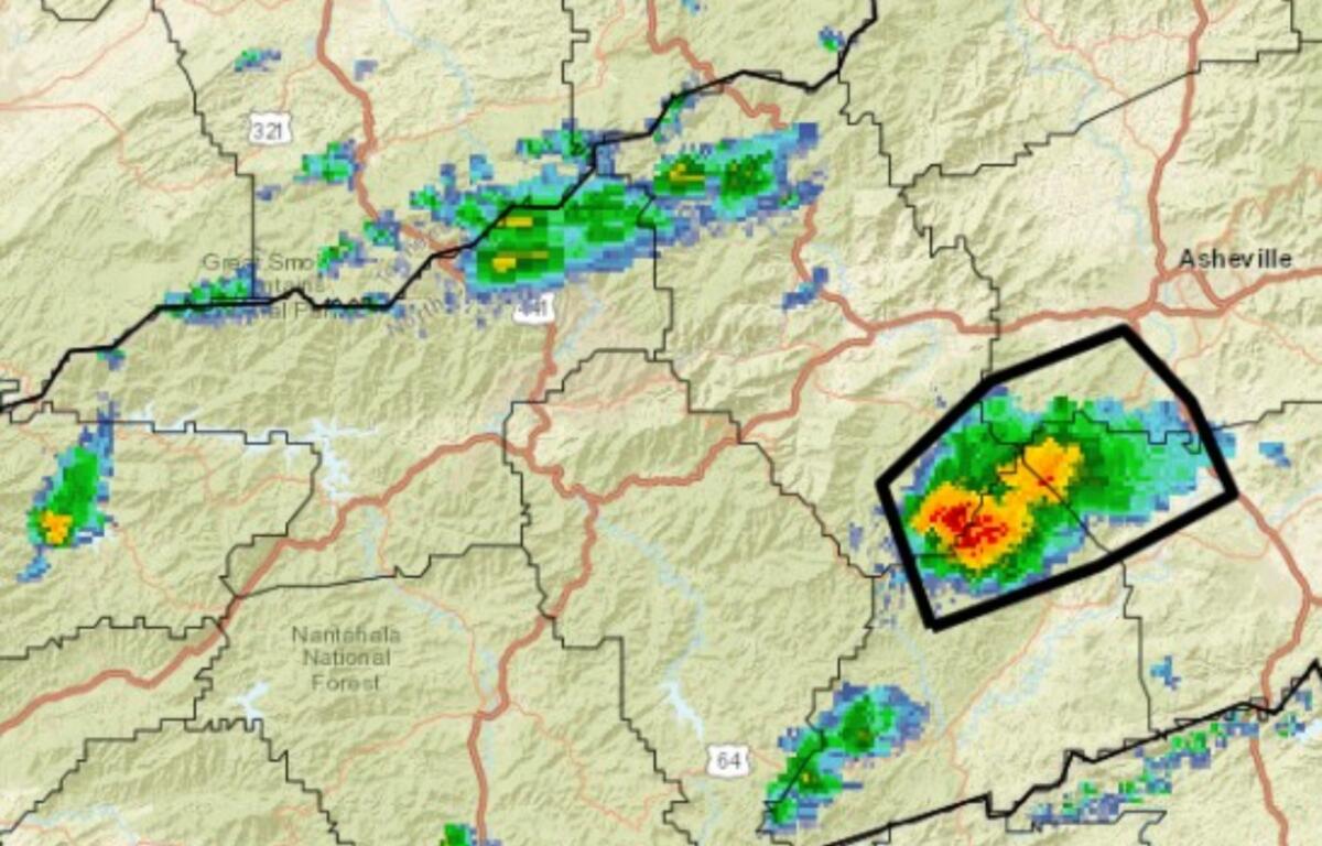
At 2:32 p.m., Doppler radar was tracking a strong thunderstorm 5 miles west of Marion, or 4 miles northeast of Old Fort, moving
southeast at 10 mph. Wind gusts up to 40 mph are possible.
Locations that could be impacted include Nebo, Sugar Hill, Old Fort, Pleasant Gardens, Glenwood, Marion, Fero and Lake James.
At 1:15 p.m., Doppler radar was tracking a strong thunderstorm about 9 miles northwest of Brevard, or 4 miles northeast of Graveyard Fields. The storm was nearly stationary.
Wind gusts up to 40 mph were indicated by radar. Gusty winds may knock down tree limbs and blow around unsecured objects.
Areas impacted include Mills River, Graveyard Fields, Bent Creek, Cruso, the Blue Ridge Parkway from Mount Pisgah to the North Carolina Arboretum, Asheville Regional Airport, Looking Glass, Avery Creek, Forge Mountain and Mount Pisgah.
If outdoors, seek shelter inside a building.
Frequent cloud-to-ground lightning is occurring with this storm. Lightning can strike up to 10 miles away. Seek safe shelter indoors or in a vehicle.