
ASHEVILLE, N.C. (828newsNOW) — Planning to be out later today? Grab the umbrella or maybe change your plans. Either way, keep an eye on the weather.
The National Weather Service says scattered thunderstorms could bring large hail and damaging winds to the Asheville area. According to the forecast, the threat will begin mid-afternoon and persist into the late evening and first half of Thursday night.
At 4:23 p.m., the National Weather Service issued a Severe Thunderstorm Watch for most of Western North Carolina until midnight.
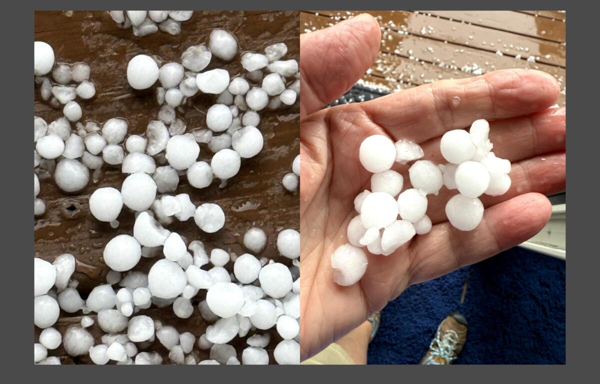
Marble-sized hail was reported in Leicester, Alexander and West Asheville about 4 p.m.
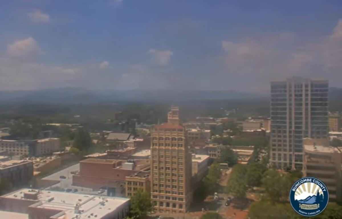
CLICK HERE FOR A VIEW FROM THE BUNCOMBE COUNTY COURTHOUSE WEBCAM
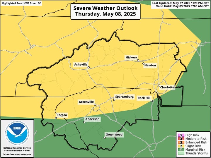
Storms are expected to steadily increase into the afternoon with some supercells and organizing clusters from western and central Kentucky into middle Tennessee, eastward into the southern Appalachians, the National Weather Service said. Hail greater than 2 inches in diameter is possible, especially within intense supercells.