
MCDOWELL COUNTY, N.C. (828newsNOW) — The U.S. Forest Service has updated its list of closures on the Grandfather Ranger District following extensive storm recovery efforts related to Tropical Storm Helene.
Thanks to the work of local partners, volunteers and Forest Service personnel from across the country, crews have cleared thousands of downed trees and addressed hazardous washouts, landslides and debris flows. As a result, more than 250 miles of trails and 150 miles of roads have reopened across McDowell, Burke, Caldwell and Avery counties.
While many areas are now accessible, Forest Service officials warn that hazards related to Helene remain. Visitors to the Pisgah National Forest are urged to exercise caution this summer.
About 40 miles of trails are still closed, including several in the Old Fort area and parts of the Linville Gorge Trail. Four recreation sites also remain closed, including the Wilson Creek Day Use Area and Table Rock Picnic Area.
However, several roads — including Curtis Creek Road — are open to foot, bike and equestrian traffic but remain closed to motor vehicles. Five roads in McDowell County remain impassable because of severe damage.
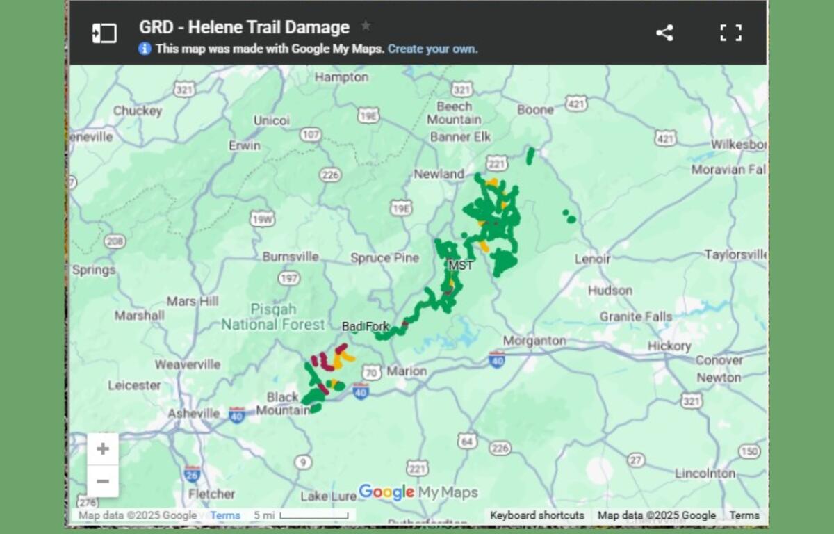
Click here to see a complete list of open and closed areas, along with an interactive map.
The following recreation sites and trails remain CLOSED:
McDowell County
- Curtis Creek Campground
- Gateway Trailhead (trails are open)
- Bernard Mountain Trailhead (trails are open)
- Lower Heartbreak Ridge Trail (TR207)
- Curtis Creek Fishing Access (TR1110)
- Newberry Creek Trail (TR210)
- Snooks Nose Trail (TR211)
- Hickory Branch Trail (TR213)
- Sugar Cove Trail (TR219)
- Portions of the Meadows Loop Trail (TR1107)
- Section of the Mountains to Sea Trail where it crosses the North Fork River (bridge out)
Burke County
- Table Rock Picnic Area (trails are open)
- Sections of the Linville Gorge Trail (TR231)
- Greentown Shortcut Trail (TR268A)
Caldwell County
- Wilson Creek Gorge Day Use Area (no activities permitted in area during closure)
- Harper Creek Trail (TR260)
- Wilson Creek Trail (TR258)
- Wilson Creek Spur Trail (TR258A)
The following roads remain closed to motorized vehicles but are open to recreational use on foot, bike and horseback:
McDowell County
- Curtis Creek Road (FSRD482 – gated below campground)
- Jarrett Creek Road (FSRD4030 – gated before Gateway Trailhead – bridge out)
Burke County
- New Gingercake Road (FSRD496)
- Table Rock Road (FSRD99 – paved section to Table Rock)
Caldwell/Avery counties
- Thunderhole Road (FSRD4071)
- Lost Cove Road (FSRD 464A)
The following roads in McDowell County are not passable, even for non-motorized traffic because of extreme damage. Use of these roads on foot, bike or horseback is not recommended.
- Newberry Creek Road (FSRD482A)
- Sugar Cove Road (FSRD1188)
- Good Cemetery Road (FSRD4008)
- Little Buck Road (FSRD470)
- Parris Creek Road (FSRD1186)
For more information on openings and closings across the entire Pisgah National Forest, click here.