
ASHEVILLE, N.C. (828newsNOW) —
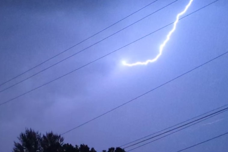
The National Weather Service has issued a “Special Weather Statement” warning about a strong thunderstorm expected to impact northern Henderson County, east-central Haywood County and southwestern Buncombe County early Tuesday afternoon.
The weather service said that as of 12:37 p.m., “trained weather spotters reported a strong thunderstorm 9 miles southwest of Downtown Asheville, or near (Blue Ridge) Parkway-Mount Pisgah to the N.C. Arboretum, moving east at 20 mph.”
The storm reportedly had wind gusts up to 40 mph with “nickel size” hail. The National Weather Service was warning that winds could knock down tree limbs, blow around unsecured objects and cause minor hail damage.
The affected areas could include: downtown Asheville, East Asheville, Arden, West Asheville, North Asheville, Woodfin, Fletcher, Biltmore Forest, Bent Creek and the Blue Ridge Parkway-Mount Pisgah to the N.C. Arboretum.