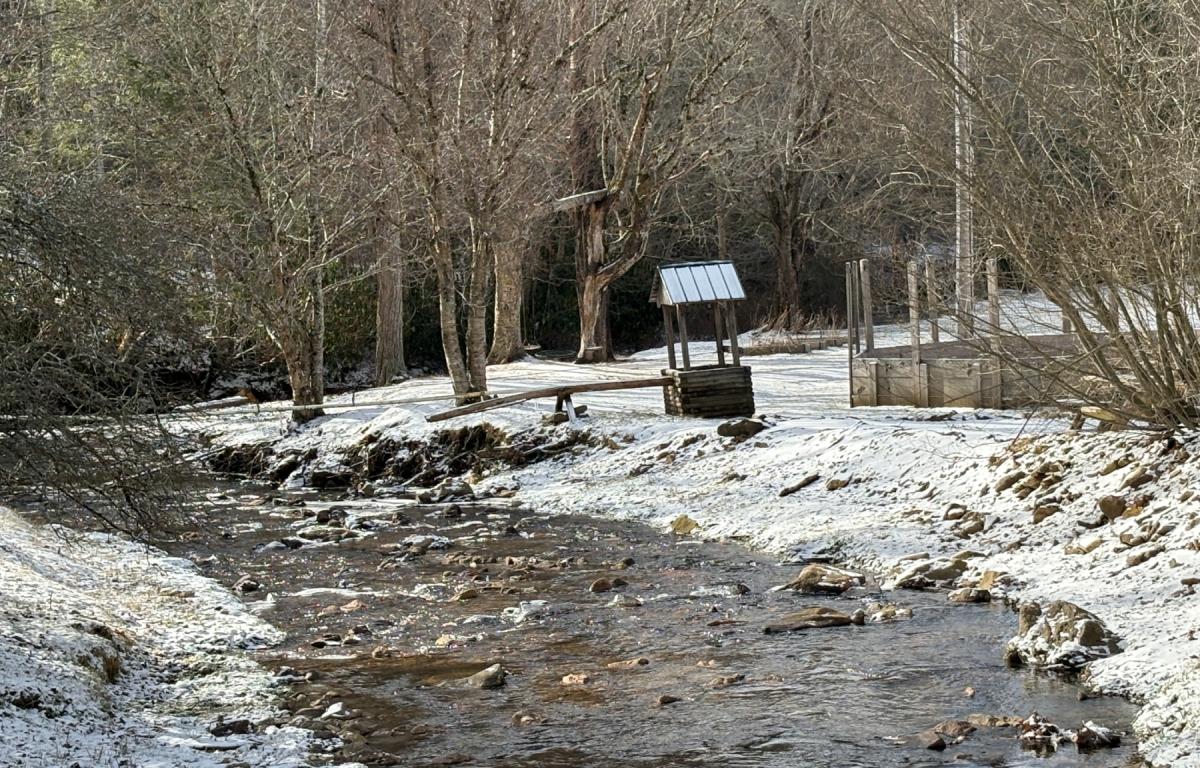

ASHEVILLE, N.C. (828newsNOW) — Arctic air will remain locked over the mountains for much of the week, forecasters said, while computer models point to a possible winter storm that could affect Western North Carolina this weekend.
The National Weather Service in Greenville-Spartanburg issued a Cold Weather Advisory for Avery County and for areas above 3,500 feet in Mitchell and Yancey counties from 9 p.m. Monday through noon Tuesday. Forecasters expect gusty winds and dangerous wind chills as much colder air settles over the region.
Early Monday, temperatures at Mount Mitchell dropped to 8 degrees with wind chills near minus 17 degrees and wind gusts approaching 50 mph, the weather service reported.
In addition to the cold, forecasters warned of elevated fire danger Monday and Tuesday, particularly outside the mountains, as relative humidity values are expected to fall to 25 percent or lower during the afternoons.
Looking ahead, the weather service said a weak cold front could move through the area Thursday with a slight chance of precipitation. Guidance also suggests another storm system may affect the region over the weekend, though impacts remain uncertain.
Some meteorologists say computer models are increasingly signaling the potential for a major winter weather event Saturday into Sunday. The track of that system will determine impacts — rain, ice or snow.
Forecasters caution it is still too early to determine specific impacts, but residents should prepare for possible travel disruptions because of a mix of snow and ice.
For Asheville, highs are expected to remain in the 30s and 40s early in the week, with hard freezes overnight and lows in the teens and low 20s. A slight chance of freezing rain is possible late Wednesday night, with rain and snow chances increasing late Friday into Friday night.