
ASHEVILLE, N.C. (828newsNOW) — Bitter cold, strong winds and additional snow are expected to impact Western North Carolina as a powerful upper-level system moves through the region, forecasters said Saturday.
Meteorologist Hunter Ward of Ashevillewx said radar showed northwest flow moisture developing over Tennessee and Kentucky that is expected to move into Western North Carolina late Saturday evening. As the system passes, winds are forecast to strengthen significantly, with gusts exceeding 35 mph and creating areas of blowing snow.
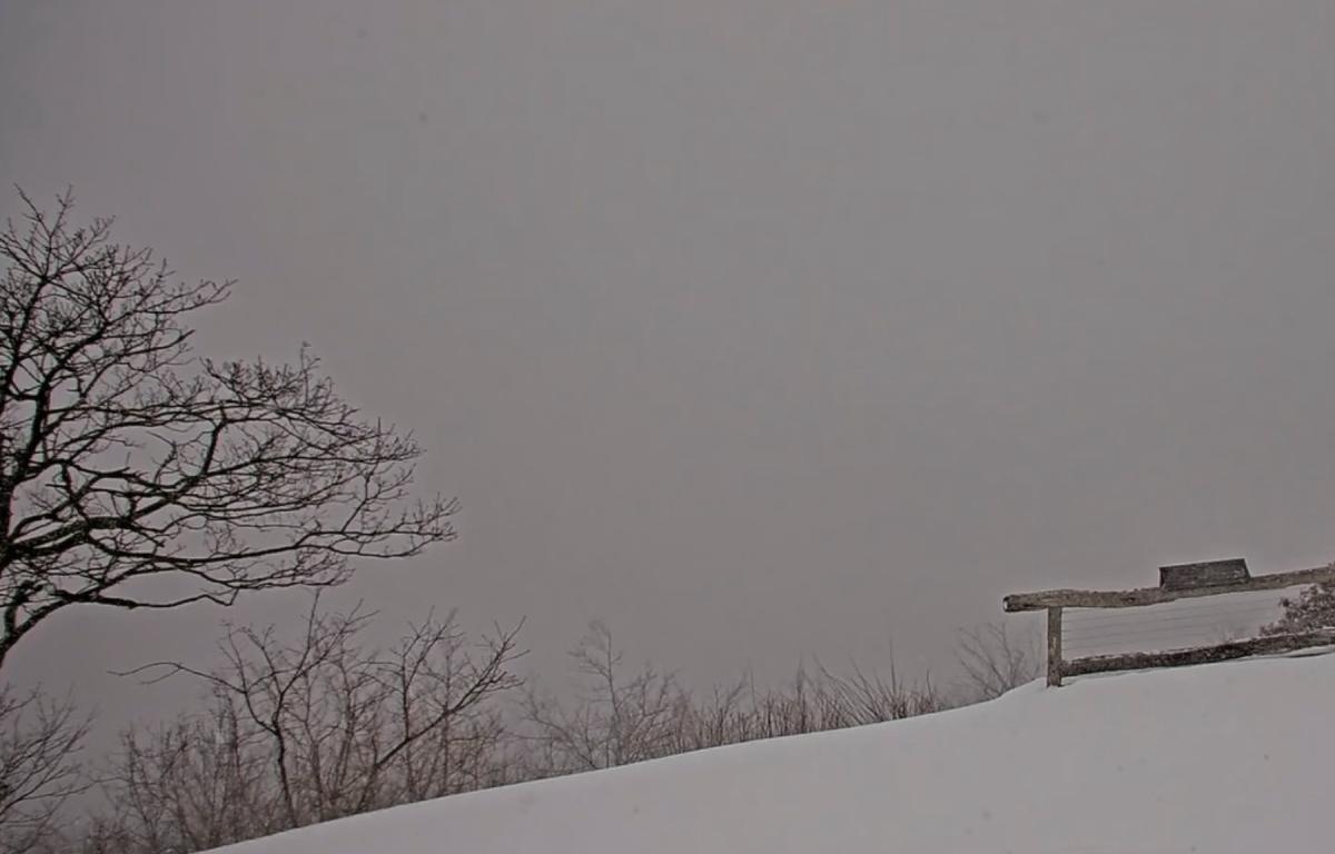
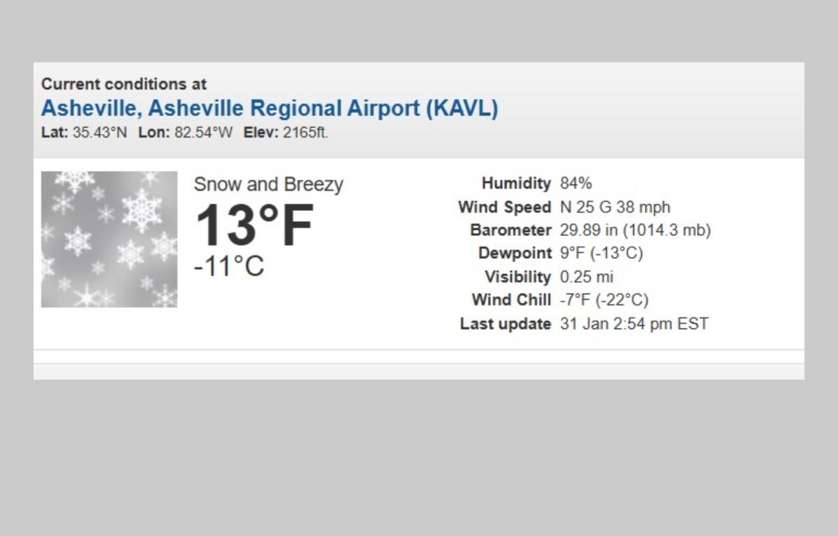
Temperatures are expected to fall into the low single digits by Sunday morning, with dangerous wind chill values well below zero. Additional snowfall is possible, particularly in the higher elevations, where northwest flow snow could persist through the afternoon. With more than 6 inches of snow already on the ground in parts of the region, power outages are a concern, Ward said, urging residents to have alternative heat plans in place.
The National Weather Service in Greenville-Spartanburg said there is a 30 percent chance of snow Saturday night, mainly before 8 p.m., with less than an inch of additional accumulation possible. Overnight lows are expected to drop to around 6 degrees, with wind chills as low as minus 12 and northwest wind gusts reaching up to 41 mph.
On Sunday, patchy blowing snow is possible during the morning hours. High temperatures are expected to reach only the low 20s, with wind chill values as low as minus 15. Winds are forecast to remain blustery throughout the day.
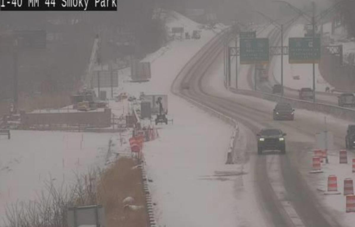
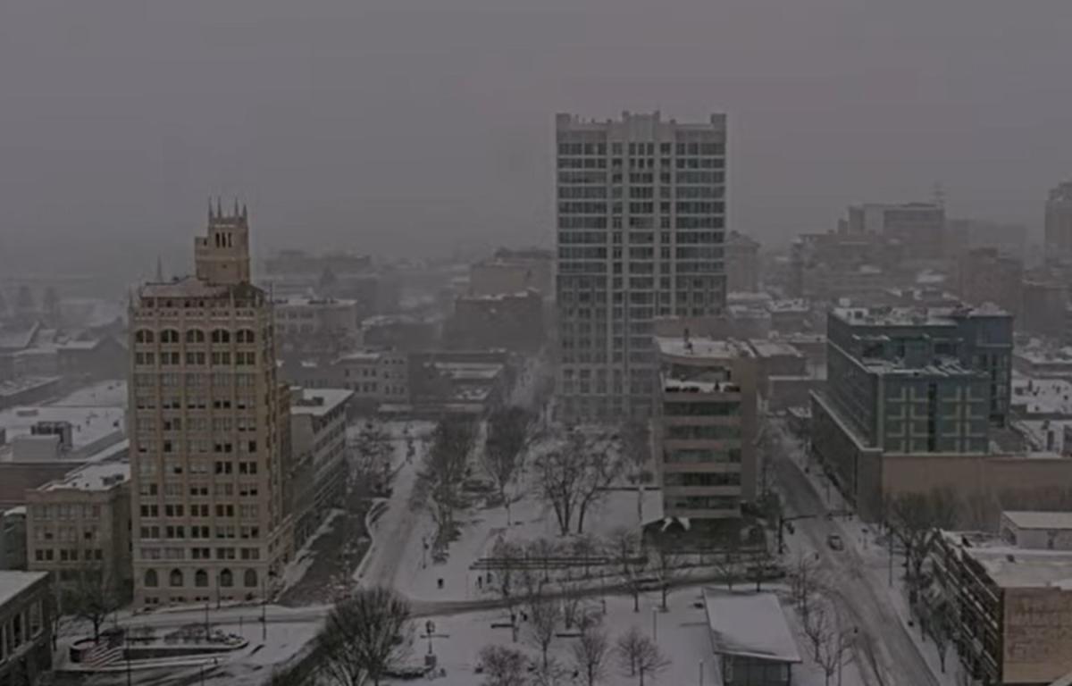
Asheville city officials said snow continued to fall across the city as of midday Saturday, and road conditions remain hazardous. Public Works crews have been operating around the clock since Friday to treat roads, but officials warned that falling temperatures will limit the effectiveness of treatments. Many roads remain snow- and ice-covered, and residents are urged to stay home and avoid unnecessary travel.
As the cold intensifies, local shelters are seeing increased demand. Safe Shelter Asheville reported record numbers at its men’s and women’s winter shelters, as well as its overflow shelter. Staff and volunteers continue to operate despite the weather to ensure people experiencing homelessness have a warm place to sleep.
Officials continue to urge residents to check on vulnerable neighbors, conserve heat, and stay informed as dangerous winter conditions persist across the region.