
ASHEVILLE, N.C. (828newsNOW) — Bitter cold gripped Western North Carolina early Monday as a Cold Weather Advisory remained in effect through 9 a.m., prompting warnings about dangerous wind chills, black ice and continued travel hazards.
The National Weather Service in Greenville-Spartanburg reported temperatures of 13 degrees at Asheville Regional Airport before dawn, with wind chills dropping to about minus 11 degrees Celsius. Forecasters said cold temperatures combined with breezy winds overnight increased the risk of hypothermia and frostbite for anyone outdoors without proper precautions.
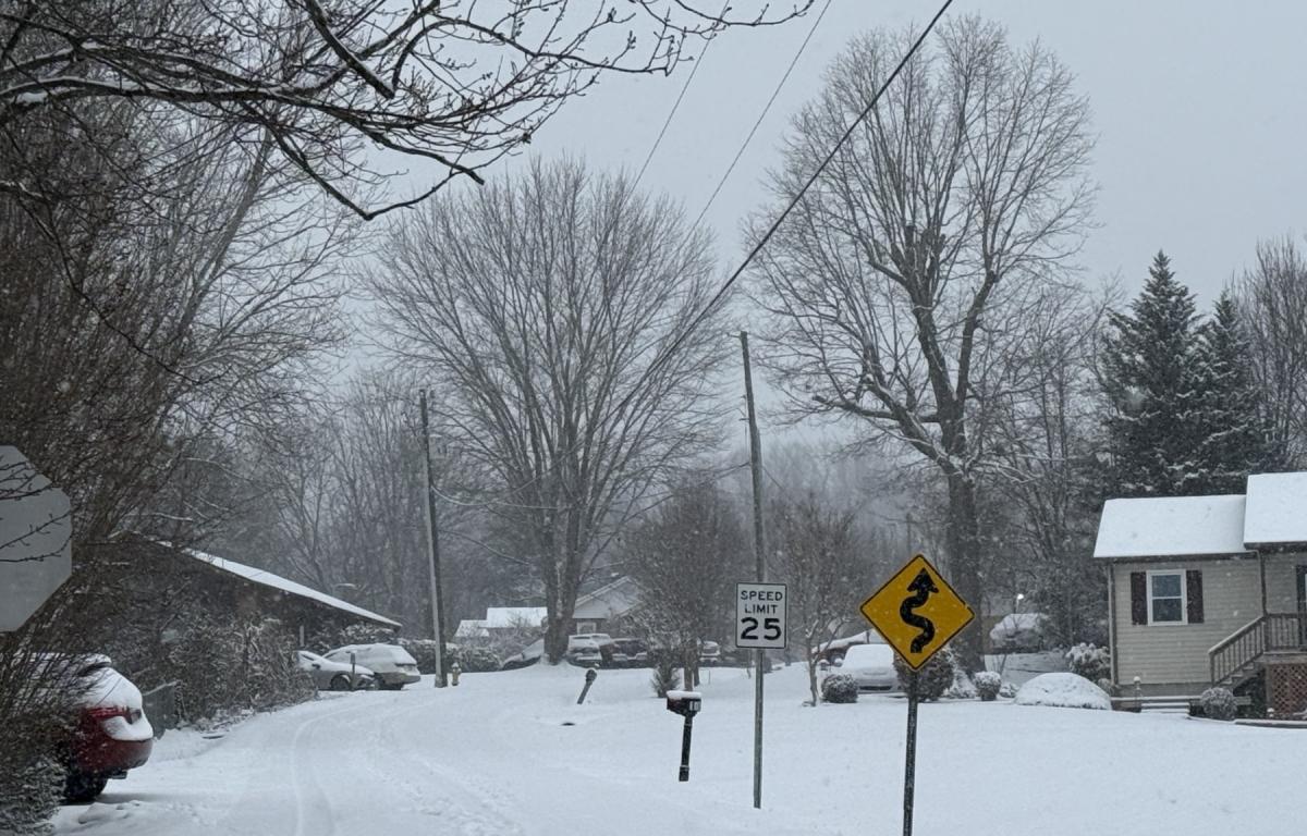
Widespread black ice was expected through the morning hours as snowmelt from Sunday refroze overnight, creating slick and hazardous road conditions, particularly in shaded areas.
Despite mostly sunny skies, temperatures will be slow to recover Monday, with highs expected near 40 degrees. Winds were forecast to remain light, shifting to the north-northwest later in the day.
Conditions are expected to moderate gradually through the first half of the week. Tuesday’s high is forecast near 47 degrees under mostly cloudy skies, with rain likely late Tuesday night and into early Wednesday. Little to no snow accumulation is expected, though a brief rain-and-snow mix remains possible.
A slight chance of precipitation could linger into Wednesday night before drier conditions return. Highs are expected in the upper 30s to mid-40s through Thursday, warming to near 49 degrees by Friday.
Forecasters across the state said temperatures Monday morning were in the single digits and teens for many areas of North Carolina, urging residents to stay warm and remain cautious on snow- and ice-covered roads.