


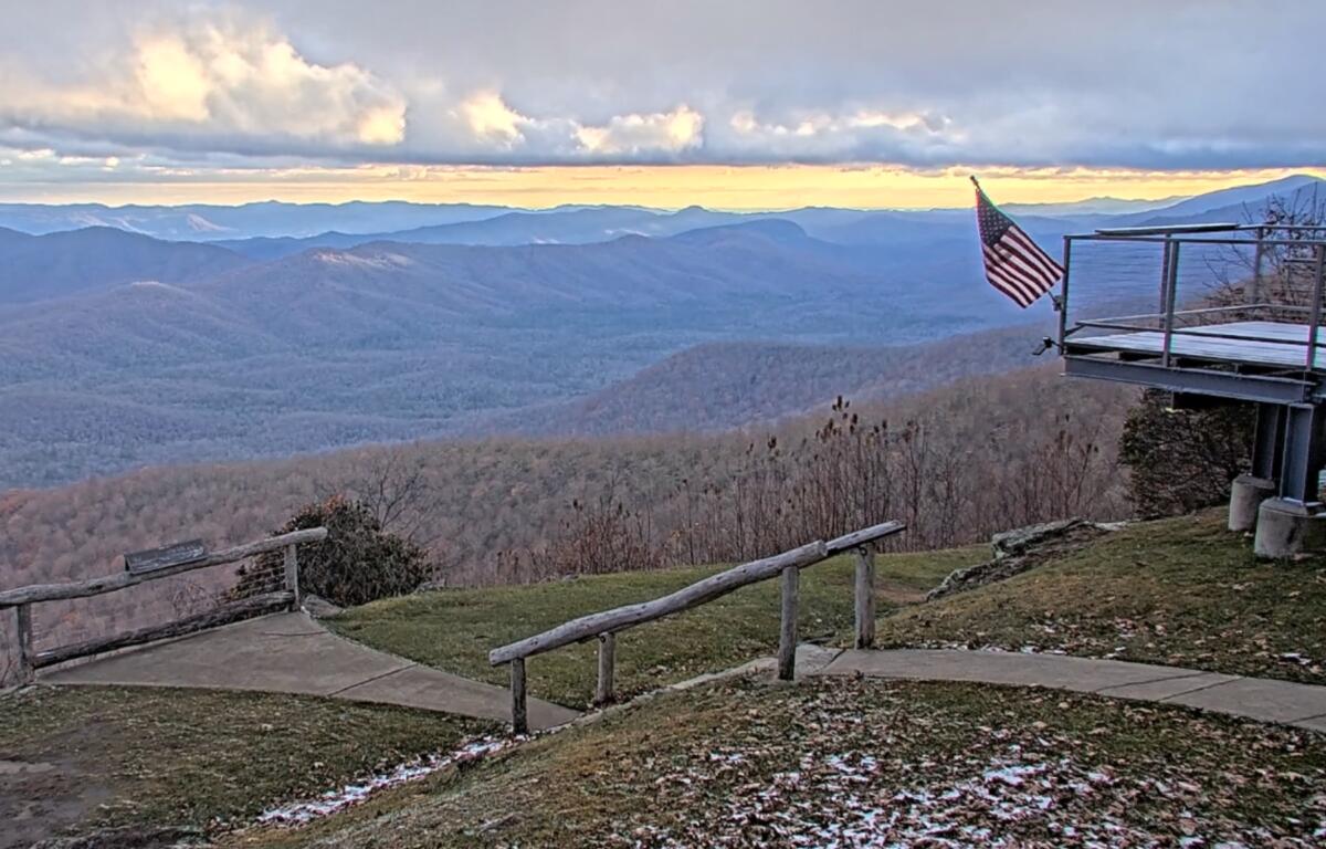

ASHEVILLE, N.C. (828newsNOW) — Snow showers could become more widespread across parts of Western North Carolina Friday evening, with several inches possible in the highest elevations and a cold weekend ahead.
The National Weather Service issued a special weather statement Friday afternoon for mountain counties along the Tennessee border, warning of slippery roads and gusty winds through early Saturday.
Most areas above 3,500 feet could see up to 2 inches of snow, with locally higher amounts above 5,000 feet.
The highest elevations of the Great Smoky Mountains, particularly those above 4,500 feet, could pick up an additional 2 to 4 inches as another round of snow moves through Friday night. Elsewhere along the Tennessee border, most locations are expected to receive less than an inch of additional snow.
Lower elevations may see snow showers, but significant accumulation is not expected.
Meteorologist Hunter Ward of Ashevillewx said radar Friday afternoon showed widespread precipitation moving across Tennessee and Kentucky toward Western North Carolina.
“Many locations have seen periodic snow showers, but as the sun sets we will see more widespread snowfall especially North of I-40,” Ward wrote on social media.
He said road temperatures remain relatively warm in the valleys, although an isolated dusting is possible around Asheville.
Winds are also expected to pick up overnight, with gusts reaching 35 mph in the higher elevations. The Weather Service urged motorists traveling mountain roads to watch for slippery conditions and strong winds.
Grandfather Mountain gets first snow of the season
Grandfather Mountain has already picked up its first snow of the season.
The attraction reported 1.4 inches of snow Friday at its Wilson Center, with more expected through the night.
The park was closed Friday but plans to reopen Saturday, Nov. 14, weather permitting.
Visitors are encouraged to call 828-733-4337 or check grandfather.com before making the trip.
Coldest temperatures of the season on the way
The snow may be winding down Saturday morning, but the cold weather isn’t going anywhere just yet.
The Weather Service expects temperatures to drop below freezing across much of the region Friday night, with even more widespread freezing conditions Saturday night.
In Asheville, the temperature is expected to fall to around 29 degrees Friday night.
Saturday will start cloudy before gradually turning sunny, with a high near 44. Northwest winds could gust as high as 26 mph.
Saturday night will be colder, with a low around 26 degrees.
Sunday will bring sunshine and a high near 52, followed by another cold night with temperatures dropping to around 25 degrees.
The Weather Service said it will not issue frost or freeze alerts because the region’s official growing season ended Nov. 11.
Colder, drier conditions are expected to linger through the middle of next week before temperatures begin warming again toward the end of the week.