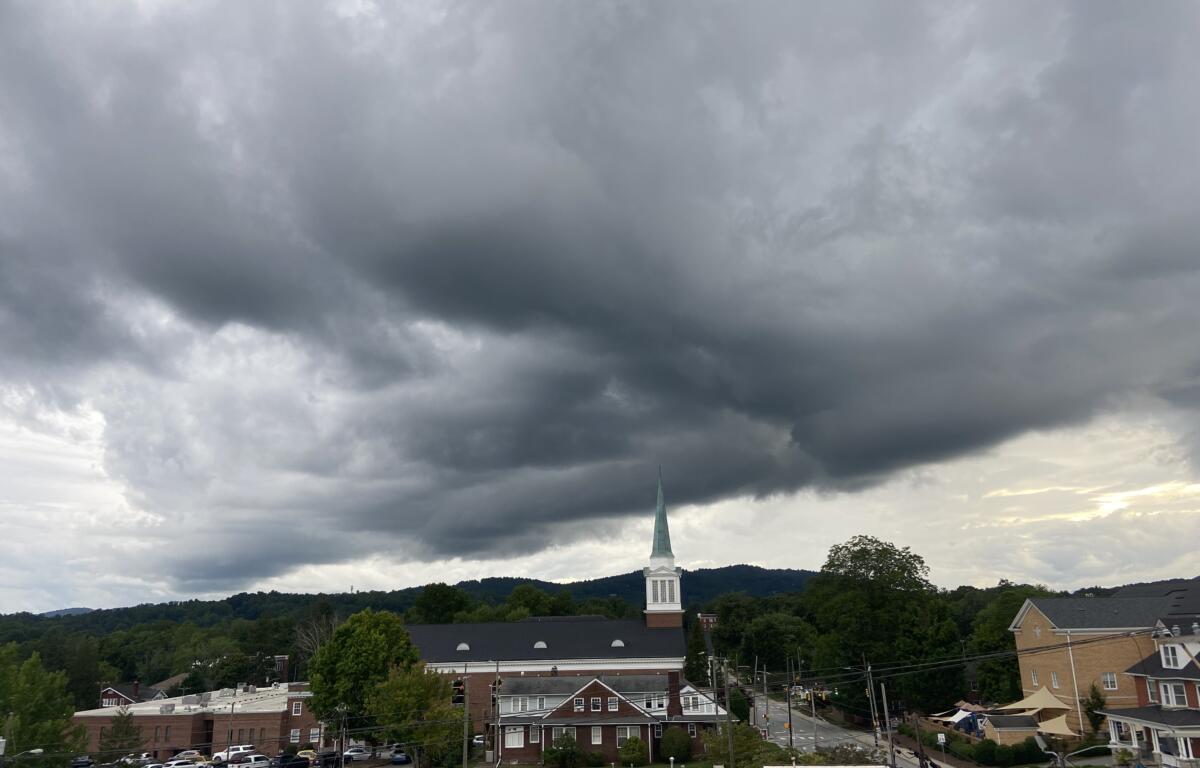

ASHEVILLE, N.C. (828newsNOW) — Storms have continued this week, causing power outages and minor flooding in the Asheville area.
According to the National Weather Service, flash flooding was reported about 7:45 p.m. Tuesday when North Fork Big Willow Creek flowed across Patterson Road in Etowah.
The storms that hit the area Tuesday knocked out power to more than 25,000 across the Carolinas, according to the Duke Energy Outage Map. That number had dropped to a little more than 8,000 by Wednesday morning, the map showed.
CLICK HERE for more information on power outages through Duke Energy, including how to report a power outage if you’re a Duke customer.
The chance of thunderstorms is expected to continue Wednesday. The best overall chance is this afternoon and early evening but will remain possible into early Thursday morning, according to the National Weather Service.
Any storms that develop will be capable of cloud-to-ground lightning and torrential rainfall, which may cause localized flash flooding. Some storms may produce bursts of damaging wind over a small area. Storms also may organize into lines, and, if so, they will be more likely to produce wind damage over a larger area.
The National Weather Service lists Western North Carolina in the slight to marginal risk categories Wednesday.
A Flood Watch was issued early Wednesday morning for Cherokee and Clay counties. The watch will continue until late tonight, according to the National Weather Service.
Excessive runoff may result in flooding of rivers, creeks, streams and other low-lying and flood-prone locations.
Over the past couple of days, many locations have received 2 to 4 inches or more of rainfall. Additional showers and storms are expected with many locations likely to receive an
additional 1 to 2 inches. Locally higher amounts are possible.
CLICK HERE for flood safety information.