
ASHEVILLE, N.C. (828newsNOW) — Parts of Western North Carolina could get ice early Sunday morning as moisture moves through with temperatures hovering near freezing.
A Winter Weather Advisory is in effect for most of the area through noon Sunday.
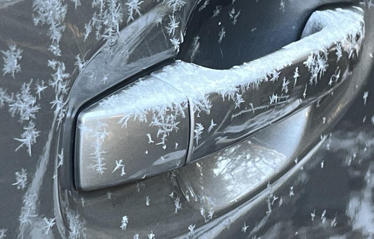
According to the National Weather Service, freezing rain is expected to develop after midnight with accumulation possible.
Areas in the advisory area include Avery, Buncombe, Burke, Henderson, McDowell, Mitchell, Transylvania and Yancey counties.
A Winter Weather Advisory for freezing rain means that periods of freezing rain or freezing drizzle will cause travel difficulties. Be prepared for slippery roads. Slow down and use caution while driving.
The forecast according to the National Weather Service:
- Tonight: A 50 percent chance of rain, mainly after 2 a.m. Cloudy with a low around 33. South-southeast wind 7 to 9 mph.
- Sunday: Rain likely, mainly before 5 p.m. Cloudy with a high near 42. Southeast wind around 8 mph. Chance of precipitation is 70 percent.
- Sunday night: A 30 percent chance of showers between 9 p.m and midnight. Mostly cloudy with a low around 40. Southeast wind around 6 mph becoming calm after midnight.