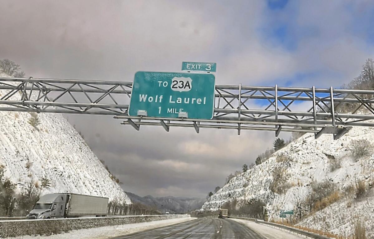

ASHEVILLE, N.C. (828newsNOW) — Be careful if you’re going to be driving Sunday.
The National Weather Service said above-freezing temperatures on Saturday allowed the snow, slush and ice to melt. But frigid overnight temperatures allowed for refreezing. Untreated bridges, overpasses and sidewalks will be the most prone to black ice.
Motorists should drive with extra caution. Slow down and leave plenty of room in front of you.
Light westerly winds are expected to develop today across the mountains and southwesterly winds elsewhere. But generally sunny skies are expected, according to the National Weather Service. Highs will be around 10 degrees below normal.
Lows tonight will be 5 to around 10 degrees below normal, with black ice possibly a concern again where roads haven’t dried.
The forecast for the week, according to the National Weather Service
Today: Sunny with a high near 41. .
Tonight: Mostly clear with a low around 21.
Monday: Mostly sunny with a high near 44.
Monday night: Partly cloudy with a low around 18. Northwest wind 7 to 10 mph, with gusts as high as 24 mph.
Tuesday: Sunny, with a high near 36. Northwest wind 10 to 14 mph, with gusts as high as 29 mph.
Tuesday night: Partly cloudy with a low around 17.
Wednesday: Sunny with a high near 36.
Wednesday night: Mostly clear with a low around 17.
Thursday: Sunny with a high near 43.
Thursday night: Mostly clear with a low around 25.
Friday: Sunny with a high near 50.