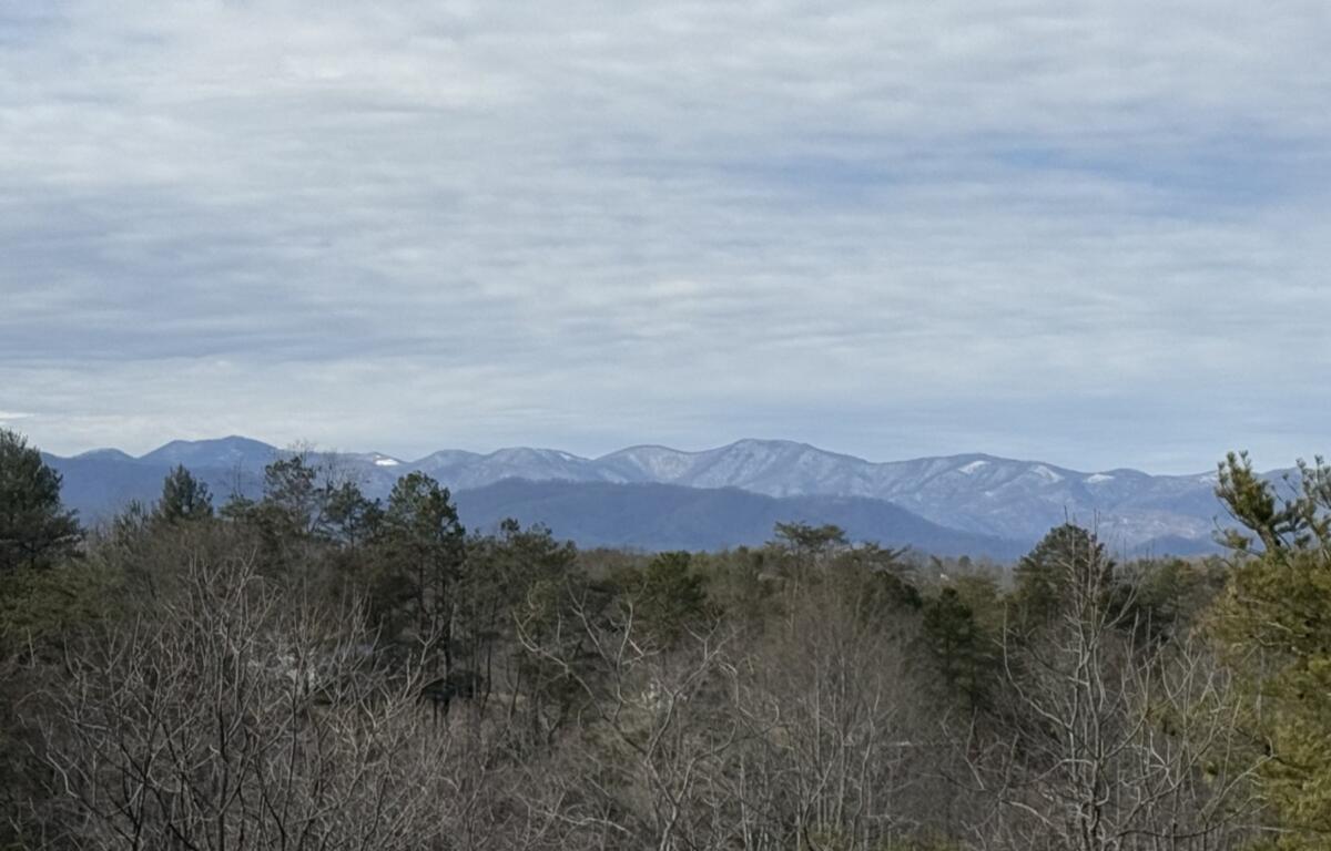

ASHEVILLE, N.C. (828newsNOW) — Drivers across the Asheville area were urged to allow extra travel time Tuesday morning as cold temperatures combined with snow flurries and a light dusting on the ground.
Despite the wintry start, the North Carolina Department of Transportation reported no major issues on area roads as of 7 a.m. Drivenc.gov, the agency’s real-time traffic and travel information website, showed no significant closures, accidents or congestion.
The National Weather Service in Greenville-Spartanburg said temperatures Tuesday will run 10 to 15 degrees below normal, with winds gradually diminishing through the day. Breezy conditions, however, are expected to persist across the mountains.
A Hazardous Weather Outlook issued early Tuesday for Western North Carolina warned that northwest wind gusts up to 40 mph, with locally higher gusts, could linger through the morning hours. Forecasters also noted below-normal temperatures will continue through the day and into the night.
The outlook includes Buncombe and surrounding mountain counties and cautions that elevated fire weather conditions are possible this afternoon due to dry and windy conditions.
Looking ahead, forecasters said dry and breezy weather is expected Wednesday and Thursday, with temperatures trending back above normal. Conditions are expected to remain dry Friday, with above-normal temperatures continuing.
The high winds and gusty conditions have taken a toll on electric services across Western North Carolina.
As of 7:30 a.m., the Duke Energy outage map showed 39 outages in Buncombe County affecting 799 customers.