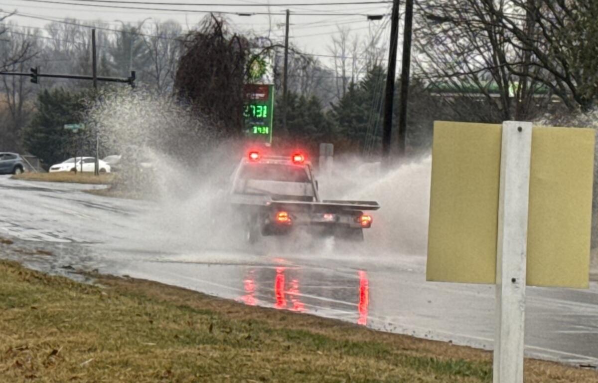

ASHEVILLE, N.C. (828newsNOW) — Cool and rainy, that’s what you get for the start of a holiday-shortened work week.
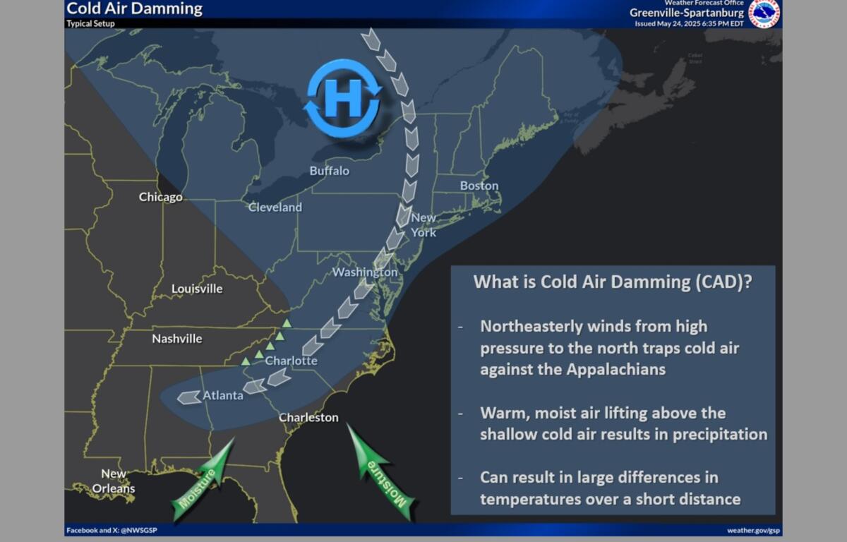
Residents of the area may be familiar with the term “cold-air damming.” Thanks to this phenomenon, temperatures on Tuesday will resemble those typically seen in late February or early March, forecasters at the National Weather Service said.
A high-pressure system moving across the Great Lakes and New York is bringing unseasonably cool weather to the western Carolinas and northeast Georgia on Tuesday, while a stationary front just south of the region will generate occasional showers through midweek.
A slow-moving, weak cold front is expected to drift across the region Thursday and Friday, ushering in drier conditions for the weekend.
The forecast for the week, according to the National Weather Service:
- Today: High near 62. East southeast wind around 8 mph. Chance of precipitation is 80 percent.
- Tonight: Cloudy, with a low around 54. East southeast wind 5 to 7 mph. Chance of precipitation is 60 percent.
- Wednesday: Partly sunny, with a high near 76. Calm wind becoming west-northwest around 6 mph in the afternoon. Chance of precipitation is 50 percent.
- Wednesday night: A 30 percent chance of showers. Mostly cloudy, with a low around 59. West-northwest wind around 6 mph becoming calm after midnight.
- Thursday: Partly sunny, with a high near 77. Calm wind becoming southwest 5 to 7 mph in the afternoon. Chance of precipitation is 50 percent.
- Thursday night: Mostly cloudy, with a low around 58. Chance of precipitation is 50 percent.
- Friday: Partly sunny, with a high near 73. Chance of precipitation is 70 percent.