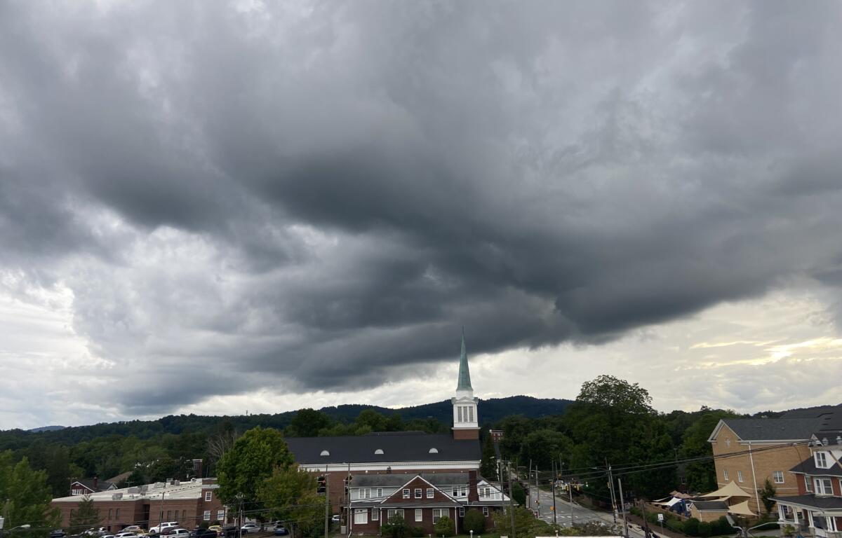

ASHEVILLE, N.C. (828newsNOW) — Grab the raincoats and umbrellas before heading out today. The threat of severe weather has increased across parts of the Carolinas as a cold front moves through the region, according to the National Weather Service.
Showers and thunderstorms are expected to develop late Thursday morning and continue into the afternoon. Some storms could become strong to severe, producing damaging wind gusts and large hail, especially in areas east of the mountains, according to the National Weather Service. Forecasters said a brief tornado or two is also possible.
Residents are urged to have multiple ways to receive warnings for severe thunderstorms or tornadoes.
The cold front is expected to shift east of the area by Thursday evening, ushering in a drier airmass for the weekend. While most areas will see improved conditions, isolated showers may linger, particularly in the mountains.
Temperatures are forecast to remain below normal through the weekend before rising to slightly above normal next week as warmer and more humid air returns to the region.
The forecast for the weekend, according to the National Weather Service:
- Today: Mostly cloudy, with a high near 75. Light and variable wind becoming west-northwest 6 to 11 mph in the afternoon. Winds could gust as high as 22 mph. Chance of precipitation is 70 percent.
- Tonight: Partly cloudy, with a low around 53. North-northwest wind 8 to 14 mph, with gusts as high as 28 mph.
- Saturday: Mostly sunny, with a high near 74. West-northwest wind 10 to 17 mph, with gusts as high as 32 mph. Chance of precipitation is 30 percent.
- Saturday night: Mostly clear, with a low around 52. Northwest wind 6 to 11 mph becoming light after midnight. Winds could gust as high as 25 mph. Chance of precipitation is 30 percent.
- Sunday: Mostly sunny, with a high near 75. Calm wind becoming west-northwest 5 to 8 mph in the morning. Chance of precipitation is 30 percent.
- Sunday night: Mostly clear, with a low around 51. Chance of precipitation is 30 percent.