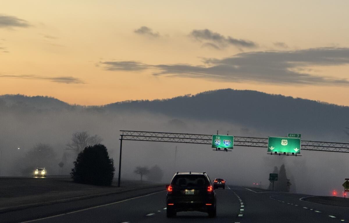

ASHEVILLE, N.C. (828newsNOW) — Morning fog reduced visibility on some roads across the Asheville area Monday, but forecasters say the region is headed for a mostly sunny and mild stretch of weather through midweek.
The National Weather Service in Greenville-Spartanburg warned of low visibility early Monday across parts of western North Carolina, Upstate and central South Carolina, and northeastern Georgia.
High pressure is expected to keep temperatures above normal and rain chances low for much of the week, according to forecasters. A cold front is forecast to arrive toward the end of the week, bringing increased clouds and a better chance of rain.
Temperatures are expected to trend warmer Tuesday and Wednesday, with dry conditions continuing. Despite more cloud cover later in the week, highs are forecast to remain well above seasonal averages until the cold front passes Saturday.
In the Asheville area, Monday is expected to be mostly sunny with a high near 61 degrees. Winds will be calm in the morning, becoming southerly around 6 mph in the afternoon. Monday night will be partly cloudy with a low near 37.
Tuesday will be mostly sunny with a high near 67, followed by a partly cloudy night and a low around 43. Wednesday’s high is expected to reach about 65 under mostly sunny skies, with clouds increasing Wednesday night and lows near 39.
Thursday will be partly sunny with a high near 64. A chance of rain develops late Thursday night and continues into Friday, with rain becoming more likely Friday night.