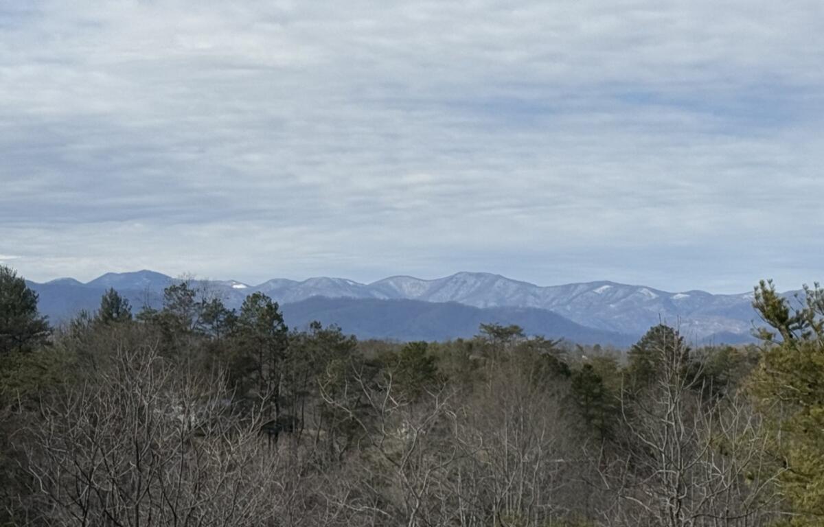

ASHEVILLE, N.C. (828newsNOW) — Winter storm watches are going up across the mountains as a Gulf low looks to move through Western North Carolina on Friday and Saturday.
Some precipitation mixing is possible with some models showing more snow than ice and others showing more ice than snow. Either way, the National Weather Service said significant accumulations are possible.
According to the NWS forecast, precipitation will begin moving into the Asheville area Friday afternoon with snow likely, mainly after 4 p.m. With the cold temperatures the Asheville area has had the last few days, snow and/or ice should have no problem sticking around.
Any snow or ice could bring power outages. So, be prepared. And maybe add water to the list of items you might need in your emergency kit.
The National Weather Service has issued a Winter Storm Watch until 7 a.m. Saturday, Jan. 11, for Cherokee, Clay, Graham, Haywood, Jackson, Macon, Madison and Swain counties, where snow accumulations between 3 and 7 inches is possible.
The hazardous conditions could impact Friday commutes.
WINTER TIPS:
Navigating winter roads: Tips for traveling in the Asheville area