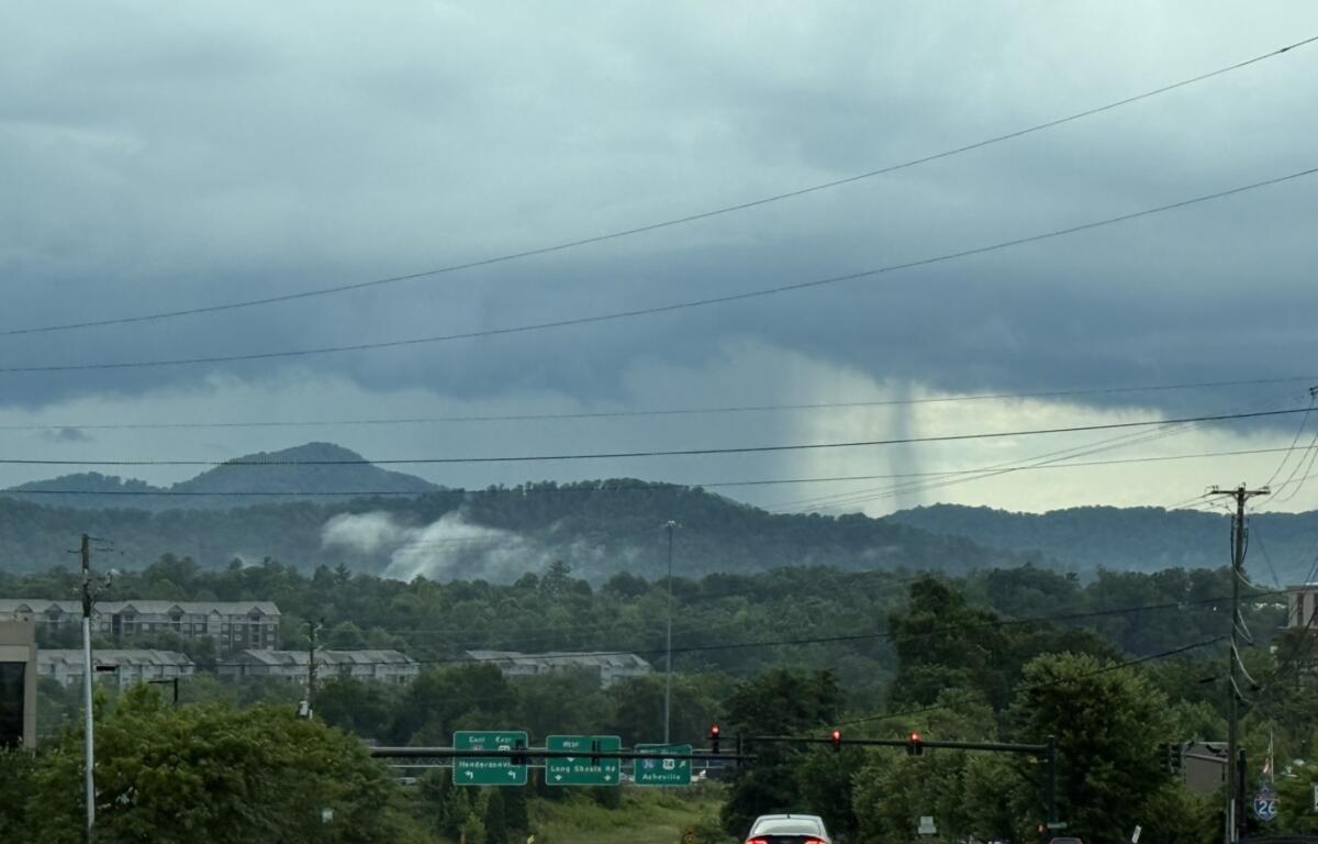

ASHEVILLE, N.C. (828newsNOW) — Showers and thunderstorms are expected to continue across the region Thursday afternoon into the evening, with a few storms potentially reaching severe limits. The National Weather Service warns that the main threats are damaging wind gusts, locally heavy rainfall, and isolated flooding, especially where storms linger or repeatedly move over the same area.
Heading into Friday, forecasters say another round of scattered to widespread storms could bring torrential rain and isolated flash flooding, particularly in urban areas. Friday will also bring one more hot and humid day, with high temperatures reaching the upper 80s before a cold front moves in overnight.
That front is expected to usher in a much cooler and drier air mass for the weekend, offering some relief from the recent heat. High temperatures will drop into the mid-70s Saturday, with continued chances for rain and isolated thunderstorms through the weekend.
Forecast at a glance:
- Friday: Showers and storms likely, especially after 2 p.m. High near 87. Chance of rain 70%.
- Friday night: Showers and storms continue. Patchy fog. Low around 66. Chance of rain 80%.
- Saturday: Cooler with a high near 76. Rain and thunderstorms likely in the afternoon.
- Sunday: Partly sunny with scattered showers and storms. High near 78.
Temperatures are expected to remain below normal through early next week before gradually returning to seasonal averages by midweek.