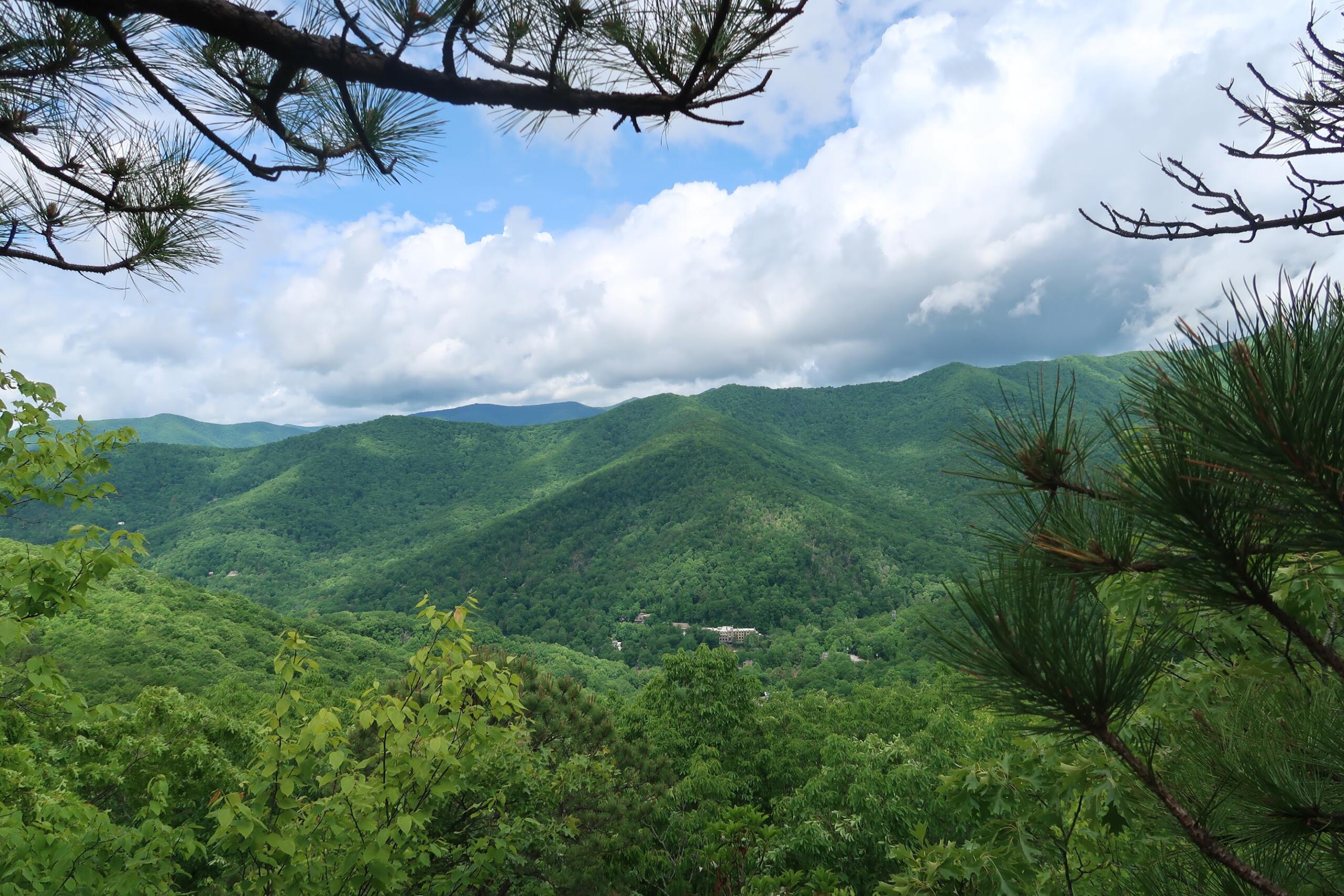
ASHEVILLE, N.C. (828newsNOW) — A visit to the Folk Art Center on the Blue Ridge Parkway is not truly complete without a hike up to Haw Creek Valley Overlook. The 4.8 mile out-and-back is a narrow but beautiful ascent to a stunning mountaintop view.
Fast facts
- Haw Creek Overlook is accessible from several points on the BRP, but the one with the most parking is easily the Folk Art Center, located at mile marker 382 in East Asheville.
- From the parking lot, the trailhead is just past the entrance to the FAC. Look for the Mountains-to-Sea trail marker.
- Heading from the FAC to Haw Creek Overlook is 4.8 miles total. Plan for between 2 and 3 hours on the trail.
- One section of the trail requires crossing the parkway itself. Be careful and watch for cars.
- Bears have been reported in the area. If you spot one, make yourself loud, assertive and calm, keeping your distance as much as possible.
Fall art center


There may be no better time to hike to Haw Creek Overlook than right now. Autumn is in full colorful regalia in Asheville, and the trail to the valley view features an impressive variety of fall foliage.
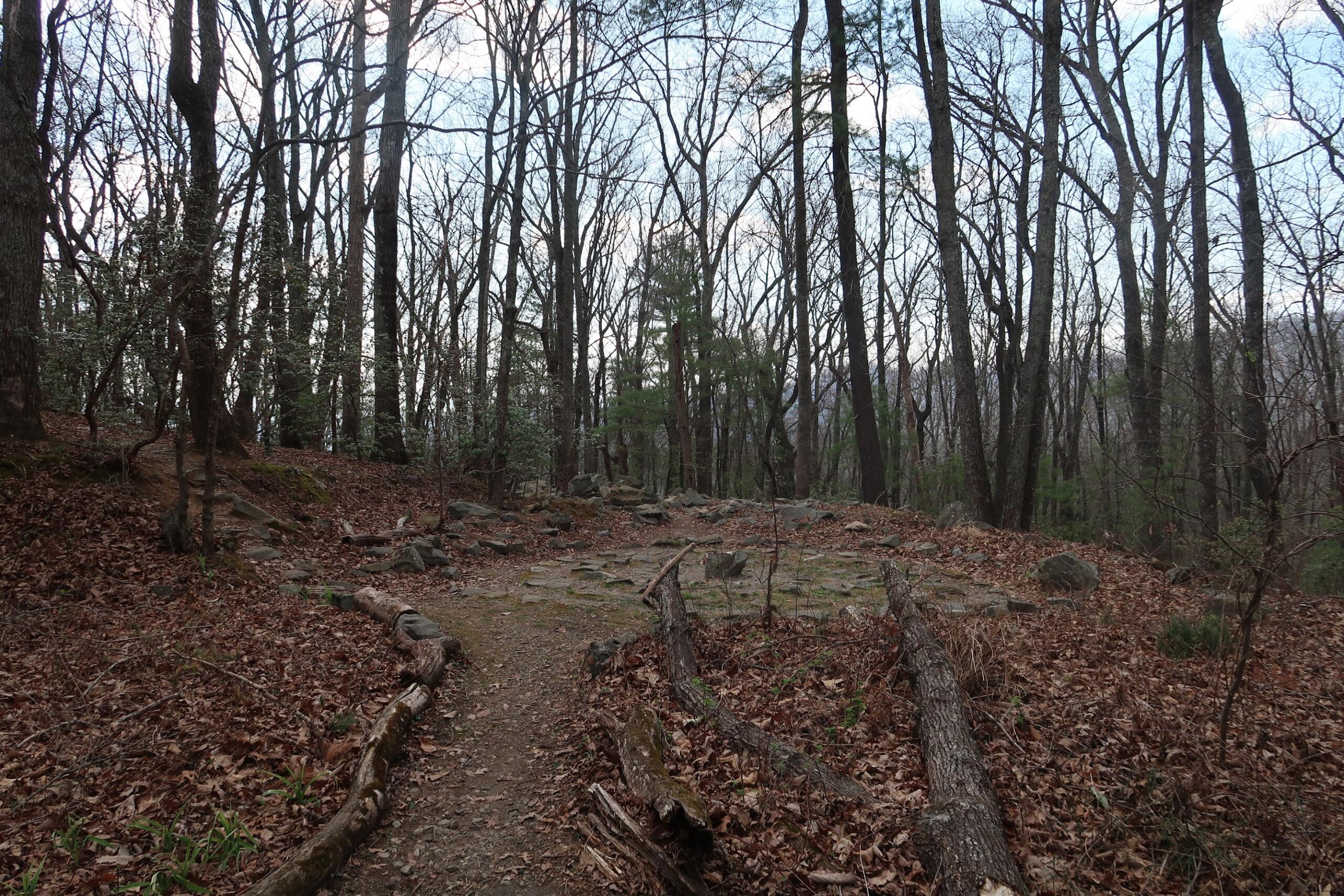
During the first section of the trail, small signs denote the types of trees in the area, priming the observant hiker for a taxonomically rich ascent. The flora changes frequently over the 2.4 miles to the top, ranging from vine-covered slopes to high leafy trees to multi-colored pink and green bushes.


In a few cases, stepping over logs or ducking branches may be required. The route is mostly clear, but there were still several trees downed by Hurricane Helene last fall.
Speaking of downed trees, however, one steep slope of the route is coated with fallen leaves. Wear shoes with tread: slipping is too easy.
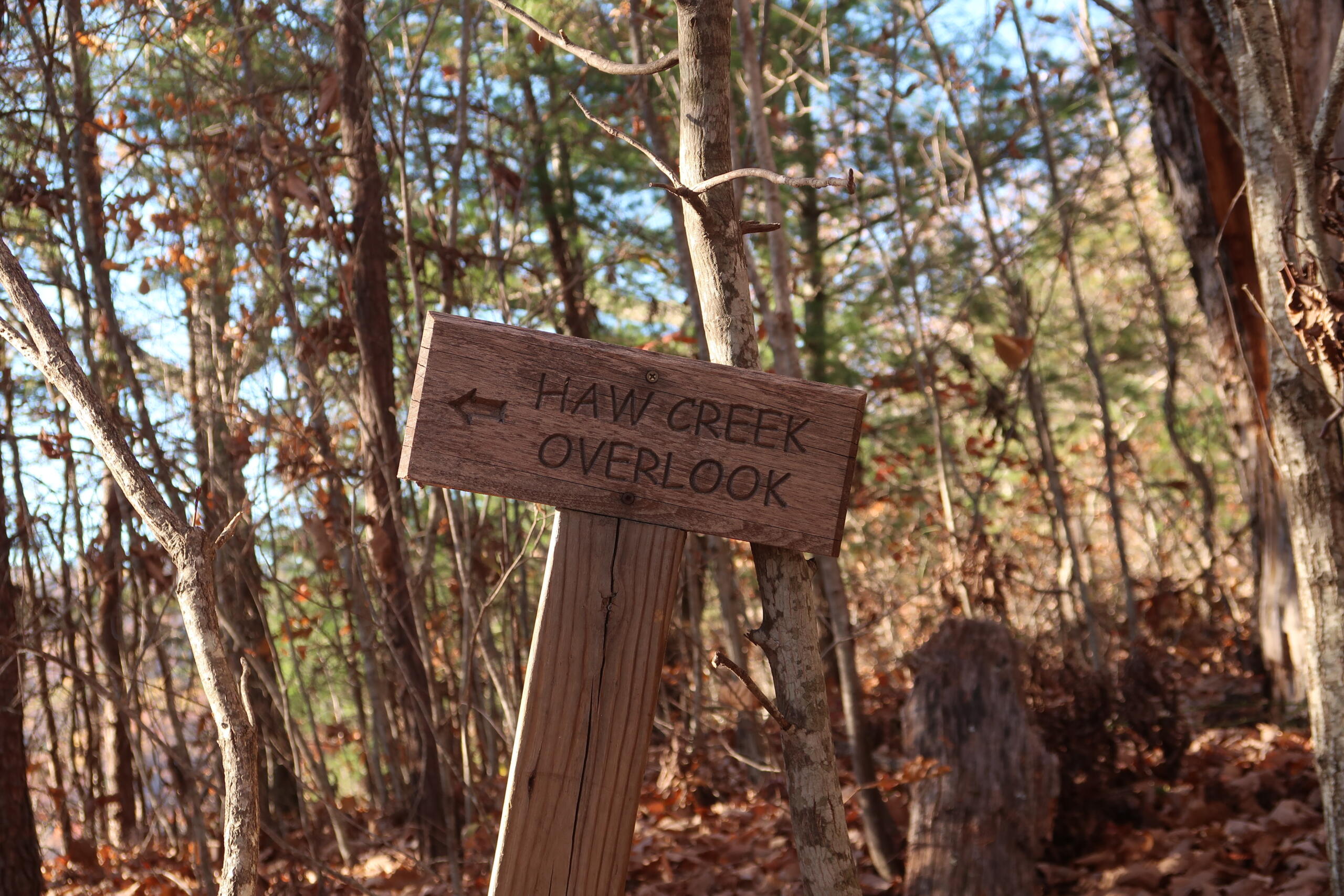
After a significant climb at the final stretch of the hike, a wooden sign will indicate the way to the valley overlook. Follow the path until it emerges onto a rock promontory. There are several outcrops available to sit and observe the valley vista.


-
Hikes of WNC: Lookout Trail

As peak hiking season hits Western North Carolina, trek out to Montreat outside of Black Mountain, N.C. for a climb up Lookout Trail. The technical route requires stamina and some rock scrambling, but its views of the Swannanoa Valley are unmatched.
-
Hikes of WNC: Flat Top Mountain Trail

Flat Top Mountain Trail is a rewarding trek with diverse terrain near Moses Cone Manor on the Blue Ridge Parkway. Read more in our hiking guide below.
-
Hikes of WNC: Devil’s Courthouse
Don’t let the name fool you. Devil’s Courthouse on the Blue Ridge Parkway boasts some truly angelic views, even if the hike up is hellish on the calves. Read more in our hiking guide.
-
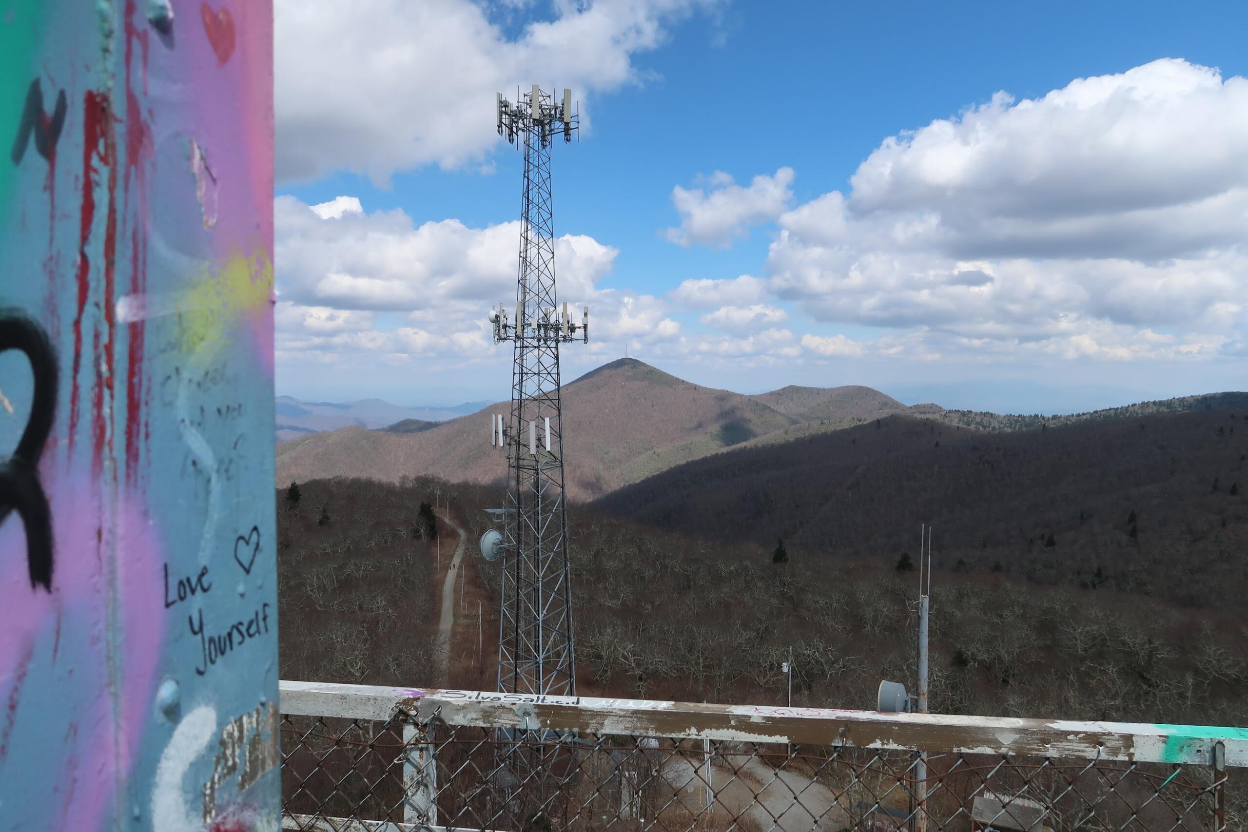
Hikes of WNC: Fryingpan Mountain Lookout Tower
Fryingpan Mountain Lookout Tower is a decommissioned U.S. Forest Service firewatch station along the Blue Ridge Parkway. The 70-foot tower climb is one of the most iconic hikes in Western North Carolina.
-
Hikes of WNC: Bull Mountain Trail
Bull Mountain Trail may seem like a simple, unassuming walk, but there is magic to be found for those looking closely. Read our hiking guide for more.