
ASHEVILLE, N.C. (828newsNOW) — Sweltering heat and humidity are expected to linger through Thursday across Western North Carolina and surrounding areas, with heat index values reaching dangerous levels before a cold front brings cooler temperatures and increased rain chances by the weekend, according to the National Weather Service in Greenville-Spartanburg.
Afternoon and evening thunderstorms are expected each day through the week, with isolated severe storms possible. The primary threat includes damaging wind gusts, small hail and locally heavy rainfall.
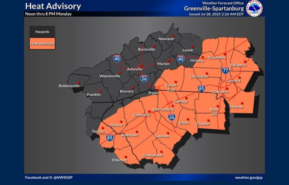
Monday’s forecast calls for a high near 92 degrees with a 70 percent chance of storms mainly between 2 and 5 p.m. Rainfall totals are expected to be light but could be higher in thunderstorms. Patchy fog may develop overnight as lows drop to around 69 degrees.
The heat continues Tuesday, with highs again near 92 and heat index values reaching 100. Showers and thunderstorms are likely throughout the afternoon and evening, with an 80 percent chance of rain.
Rain chances remain elevated through Thursday as the cold front approaches. Each day could bring widespread showers and storms, with highs gradually falling from near 90 on Wednesday to the low 80s by Friday.
The front is expected to push through by the end of the workweek, ushering in below-normal temperatures and drizzly conditions for the weekend. Highs will hover in the low 80s Friday and drop into the 60s overnight, offering a welcome break from the oppressive heat.