
ASHEVILLE, N.C. (828newsNOW) –
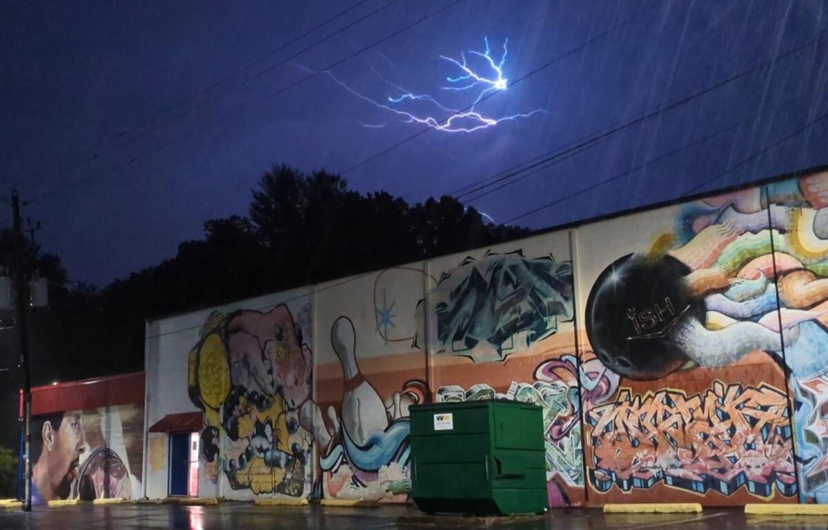
After early morning rain, thunder and lightning, the Asheville area still faces a chance of afternoon showers and thunderstorms on Monday, May 27, 2024, the National Weather Service said.
A cold front moved into Western North Carolina overnight, bringing lightning, thunder and rain in early morning storms in some areas, including Asheville, to start the Memorial Day holiday.
“Another round of afternoon showers and thunderstorms is possible on Monday with a few strong thunderstorms in the Western Carolina Mountains,” a hazardous weather outlook predicted. “Main threats will be strong, gusty winds, cloud-to-ground lightning and hail.”
An updated outlook, issued at 11:36 a.m., said: “Isolated thunderstorms will develop this afternoon across northeast Georgia and the western Carolinas. A couple of these storms may become strong enough to produce small hail and strong outflow winds, especially across North Carolina.”
The outlook included Buncombe County and neighboring counties across Western North Carolina.
According to the National Weather Service, Asheville’s Memorial Day forecast called for a 70 percent chance of precipitation, with showers and thunderstorms likely before noon, then a slight chance after 1 p.m. Cloudy skies are expected to gradually give way to sunny conditions, with an eventual high temperature near 80 degrees.


