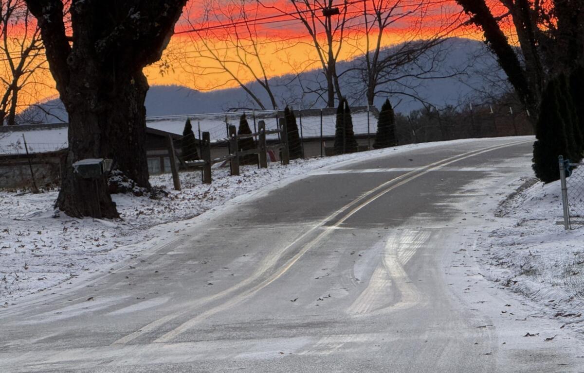

ASHEVILLE, N.C. (828newsNOW) — Western North Carolina drivers faced slick and icy roads Tuesday morning as temperatures remained below freezing and overnight snow continued to impact travel across the region.
Residents flooded social media before dawn looking for real-time road conditions, but reports were sparse as of 6:30 a.m. Some drivers noted icy patches on Interstate 40 between Canton and Asheville, while others sought updates on Newfound Gap Road and N.C. 9.
Posts also described roads around Cruso as “sketchy,” with drivers urging caution and advising others to slow down and avoid following too closely. Commuters reported that U.S. 19/23 into Asheville remained mostly wet but passable, while conditions from Biltmore to Mission Hospital were described as “fine.” Patton Avenue in downtown Asheville was reported to be icy.
In the Leicester area, Jenkins Valley and Mount Carmel roads, Leicester Highway and Malvern Hills were all reported to be slick with “zero signs of salt or sand.”
Interstste 26 from Mars Hill to Asheville was reported to be mostly clear.
The National Weather Service in Greenville-Spartanburg said snow showers were expected to taper off around daybreak, but warned that slippery conditions would persist through the morning, especially in areas that saw accumulating snow in the past 24 hours. Temperatures were forecast to rise above freezing in lower elevations by afternoon, but higher elevations were expected to remain at or below freezing into the night.
Forecasters cautioned that black ice could develop this evening and into Wednesday morning as temperatures fall again, potentially affecting the evening and next-day commute.
The advisory covers multiple mountain counties, including Buncombe, Haywood, Madison, Yancey, Mitchell, Avery, Swain, Jackson, Transylvania, Henderson, Graham, Macon and portions of Burke, Caldwell and McDowell.
Drivers are urged to slow down, leave extra space between vehicles and prepare for potentially hazardous travel throughout the day.cDowell Mountains, NC