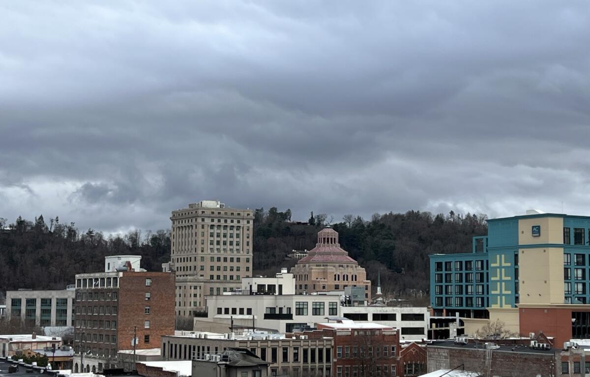

ASHEVILLE, N.C. (828newsNOW) — Rain is on the way. A cold front will gradually approach from the west Friday into the weekend, increasing rain chances across the region, according to the National Weather Service.
Some forecast models are calling for the rainfall to be heavy, though most have the Asheville area getting up to a quarter of an inch.
High temperatures will drop below normal briefly Friday before above-normal highs return this weekend into early next week, the National Weather Service said. The cold front moves east of the area Sunday night as drier conditions return Monday then a cold front brings another chance of rain Tuesday and New Years Day.
The forecast for the next few days, according to the National Weather Service:
- Friday: A 30 percent chance of showers, mainly after 1 p.m. Patchy fog after 4 p.m. Otherwise, mostly cloudy with a high near 43. Southeast wind 6 to 9 mph.
- Friday night: Patchy fog before 7 p.m. Low around 41. Southeast wind around 8 mph. Chance of precipitation is 90 percent.
- Saturday: High near 61. South-southeast wind 5 to 7 mph. Chance of precipitation is 80 percent.
- Saturday night: Low around 52. South-southeast wind 6 to 9 mph, with gusts as high as 20 mph. Chance of precipitation is 90 percent.
- Sunday: Showers and possibly a thunderstorm, mainly before 4 p.m. High near 65. Chance of precipitation is 80 percent.