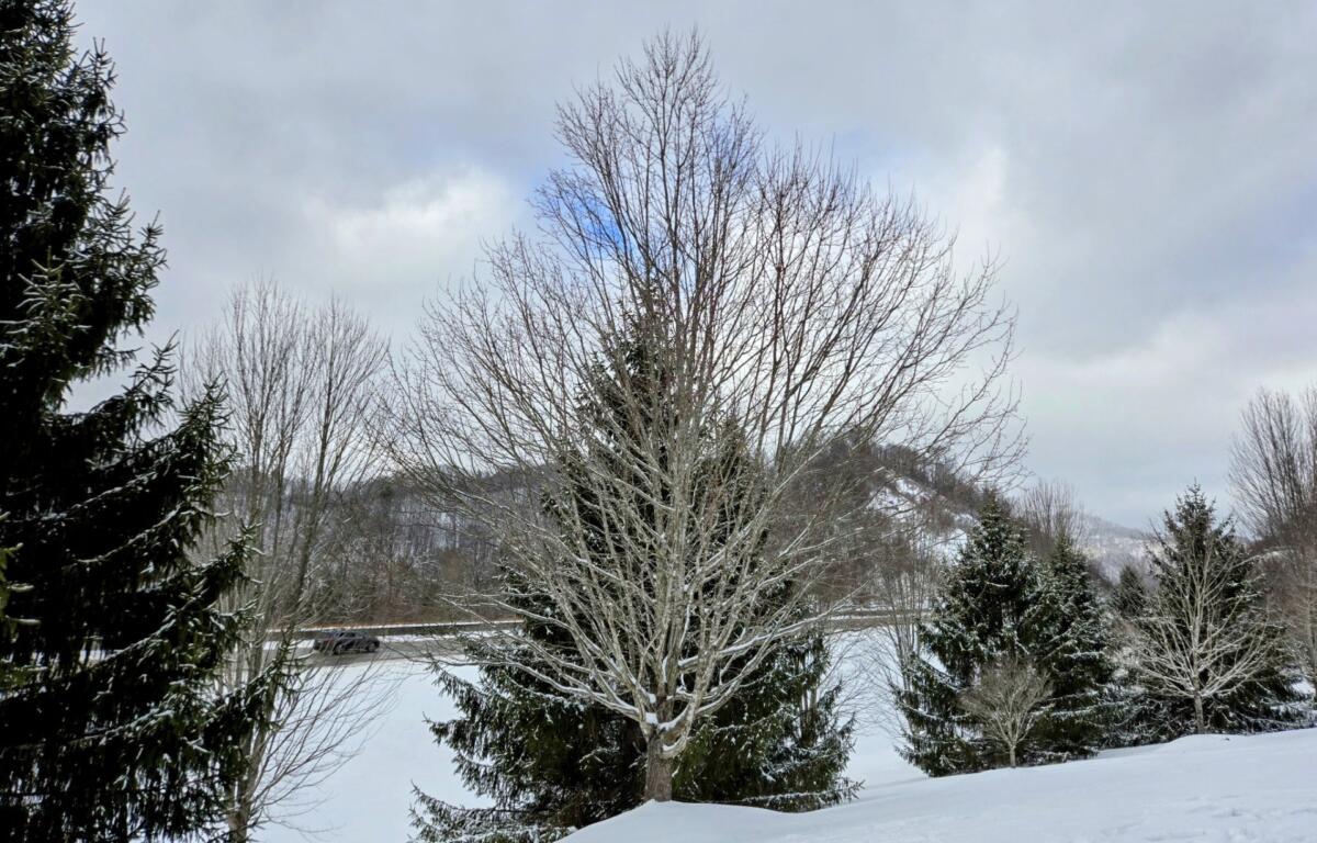

ASHEVILLE, N.C. (828newsNOW) — The snowfall may have tapered off, but the Asheville area remained sunny and cold Monday morning.
If you venture out on roads, drive cautiously and be prepared to encounter slick spots. Temperatures in most higher elevations will rise only into the lower teens, with valleys likely reaching the lower 20s.
Arctic airmass will continue building into the region throughout the week. High temperatures will be below freezing in many areas Monoday, and even the warmest locations will not rise out of the 30s. Similar temperature trends will recur Tuesday and Wednesday.
Snowfall totals, according to National Weather Service spotters:
- Banner Elk (Avery): 5.8 inches
- Jonas Ridge (Burke): 1.5
- Candler (Buncombe): 1
- Marshall (Madison): 1
- Celo (Yancey): 0.8
- Banner Elk (Avery): 6.5
- Hot Springs (Madison): 1.8
- Mount Mitchell (Yancey): 1.6
- Burnsville (Yancey): 4.3
- Waynesville (Haywood): 1.2
- Maggie Valley (Haywood): 1
- Canto (Madison): 0.5
- Leicester (Buncombe): 0.4
- Barnardsville (Buncombe): 1
- Whiterock (Madison): 2.7
- Buladean (Mitchell): 3.8
- Faust (Yancey): 5.5