
ASHEVILLE, N.C. (828newsNOW) — The big question for today is just how active it will be.
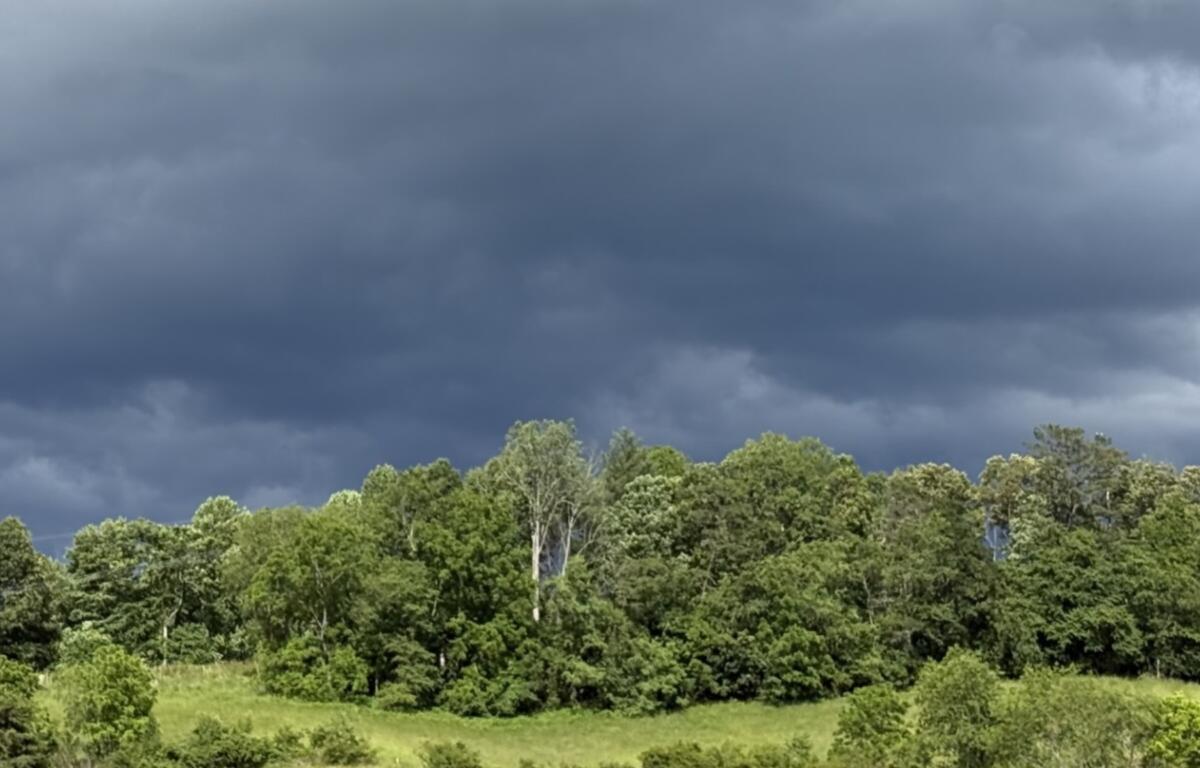
Western North Carolina residents should prepare for potentially severe thunderstorms Thursday afternoon and evening as a cold front moves through the region, forecasters said.
The National Weather Service said scattered to numerous thunderstorms are expected to develop, with some capable of producing damaging winds, large hail and isolated flash flooding.
According to the Ashevillewx-Meteorologist Hunter Ward Facebook page, strong storms could roll through the area as early as 2 to 3 p.m., bringing heavy rainfall, gusty winds and the possibility of power outages. Recent rainfall could lead to ponding on roadways during the evening commute, he warned.
CLICK HERE TO SEE THE VIEW FROM THE BUNCOMBE COUNTY COURTHOUSE WEBCAM
Drier air is expected to settle in for Friday and Saturday. However, hot and humid conditions are forecast to return Sunday, with temperatures possibly reaching 90 degrees multiple times next week and daily chances of thunderstorms resuming by midweek.
Mentally prepare for a heat wave across the Southeast early next week, Ward said.
The weekend forecast, according to the National Weather Service:
- Juneteenth: Showers and thunderstorms likely, mainly between 2 p.m. and 4 p.m. Partly sunny, with a high near 86. West wind around 9 mph. Chance of precipitation is 60 percent.
- Tonight: A 30 percent chance of showers and thunderstorms before 9 p.m. Patchy fog after 1 a.m. Otherwise, partly cloudy, with a low around 63. North-northwest wind around 6 mph.
- Friday: Patchy fog before 9 a.m. Otherwise, sunny, with a high near 86. Northwest wind 3 to 5 mph.
- Friday night: Mostly clear, with a low around 62. Calm wind.
- Saturday: Sunny, with a high near 89. Calm wind becoming south-southeast around 5 mph in the afternoon.
- Saturday night: Mostly clear, with a low around 65.
- Sunday: Sunny, with a high near 93.
- Sunday night: Mostly clear, with a low around 67.