
ASHEVILLE, N.C. (828newsNOW) —
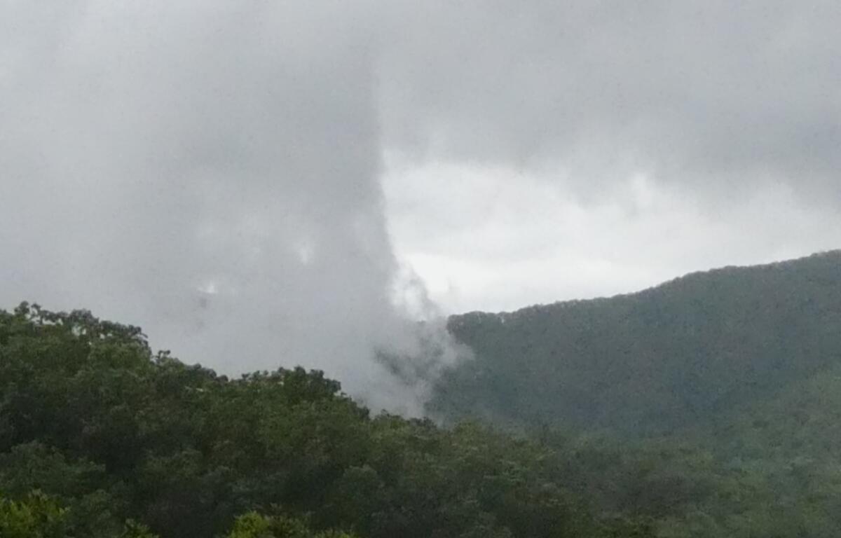
More wet weather could be on tap for the Asheville area on Sunday, with isolated or scattered showers and a possibility of thunderstorms after 1 p.m., the National Weather Service predicted.
It has become a familiar pattern in recent weeks for much of Western North Carolina.
At 3:53 a.m. Sunday, the weather service issued a Hazardous Weather outlook saying, “Isolated to widely scattered thunderstorms may develop across the mountains of the Carolinas and northeast Georgia this afternoon. The main threats will be heavy downpours, gusty winds and cloud-to-ground lightning.”
That outlook included Buncombe County, along with much of Western North Carolina, upstate South Carolina and northeast Georgia.
Asheville’s forecast Sunday called for a high near 75 degrees and a 30 percent chance of rainfall. The weather service was predicting rainfall amounts of less than a quarter-inch, “except higher amounts possible in thunderstorms.”
The start of the work week was predicted to be warmer, with partly cloudy or sunny conditions prevailing on Monday, Tuesday and Wednesday and high temperatures rising above the 80 degree mark. Later in the week, chances of thunderstorms could return, the Weather Channel’s weather.com predicted for Asheville.
.