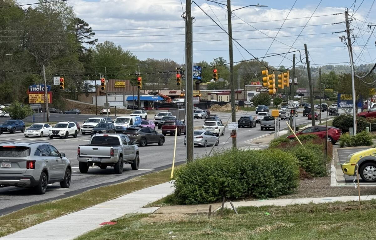

ASHEVILLE, N.C. (828newsNOW) — On a busy stretch of Patton Avenue, cars stream past strip malls and side streets, weaving through one of Asheville’s most heavily traveled corridors. It’s a familiar scene across Asheville and much of Buncombe County — and one that reflects a broader reality across North Carolina: while the state sits near the middle nationally for traffic fatality risk, local roads still pose daily hazards for drivers, cyclists and pedestrians.
Asheville’s busiest — and riskiest — roads
In Asheville, danger often correlates with volume.
Major corridors like Interstate 26 and Interstate 40 carry heavy regional traffic, but it’s the city’s surface streets, where local and through traffic collide, that consistently emerge in safety discussions.
Patton Avenue, which doubles as U.S. 19, U.S. 23 and U.S. 74A, is frequently cited in local crash analyses. Its intersections with New Leicester Highway and Tunnel Road are among the most complex and heavily traveled in the city.
Merrimon Avenue, another key north-south route, presents a different challenge: fast-moving traffic mixed with turning vehicles, pedestrians and cyclists. Similar risks play out along Tunnel Road and Hendersonville Road, where dense commercial development creates frequent stops, turns and distractions.
Transportation data from the North Carolina Department of Transportation shows how even a single intersection can reflect broader trends. At the junction of Patton Avenue and New Leicester Highway, more than 140 crashes were reported between 2020 and 2024 — the vast majority involving property damage, but with injuries ranging from minor to serious.
A statewide picture: middle of the pack, but still dangerous
The risks seen in Asheville mirror a broader statewide pattern.
A 2026 analysis of federal crash data ranked North Carolina 18th in the nation for the likelihood of dying in a car crash. The study estimated a 1.12 percent lifetime risk — about 1 in 89 residents.
That places North Carolina well below the most dangerous states, such as Mississippi, where the odds are roughly 1 in 51, but far from the safest. In Massachusetts, the lifetime risk is less than half a percent.
Even so, safety experts note that rankings can obscure the day-to-day reality on local roads, where design, congestion and driver behavior play a larger role than statewide averages.
Why Asheville’s roads stand out
Several factors contribute to Asheville’s crash patterns:
Heavy tourism and growth: As a regional destination, Asheville sees fluctuating traffic volumes, particularly during peak travel seasons. Visitors unfamiliar with local roads can add to unpredictability.
Road design and access points: Corridors such as Tunnel Road and Hendersonville Road are lined with businesses, creating frequent entry and exit points that increase the risk of collisions.
Mixed transportation use: Streets such as Merrimon Avenue and Swannanoa River Road must accommodate cars, bicycles and pedestrians — often without fully separated infrastructure.
High-volume intersections: Locations like Patton Avenue at New Leicester Highway or Smokey Park Highway at Acton Circle combine heavy traffic with complex turning patterns, raising the likelihood of crashes.
No single ‘most dangerous’ road
Despite consistent patterns, transportation officials do not maintain a simple public ranking of Asheville’s most dangerous streets.
Crash data is tracked in detail by NCDOT, but identifying the highest-risk corridors typically requires deeper analysis of raw data, including factors like crash severity, traffic volume and roadway design.
Still, across studies and local reporting, a clear picture emerges: a handful of major arteries — Patton Avenue, Merrimon Avenue, Tunnel Road and Hendersonville Road — repeatedly surface as high-risk areas.
A local issue within a national trend
Across the United States, traffic deaths remain a persistent public safety issue, shaped by everything from infrastructure to driver behavior.
In Asheville and Buncombe County, that national trend plays out in everyday ways — at busy intersections, along commercial corridors and on the roads residents travel daily.
For drivers here, the statistics translate into something more immediate: a reminder that even in a state ranked in the middle of the pack, the margin for error on the road can be slim.