ASHEVILLE, N.C. (828newsNOW) —
Weather watchers might get a breather this weekend, after several days of on-and-off rains and damaging thunderstorms give way to mostly sunny skies over Western North Carolina on Saturday and Sunday.
People still are cleaning up from waves of thunderstorms that swept through Asheville and the mountain region Wednesday and Thursday.
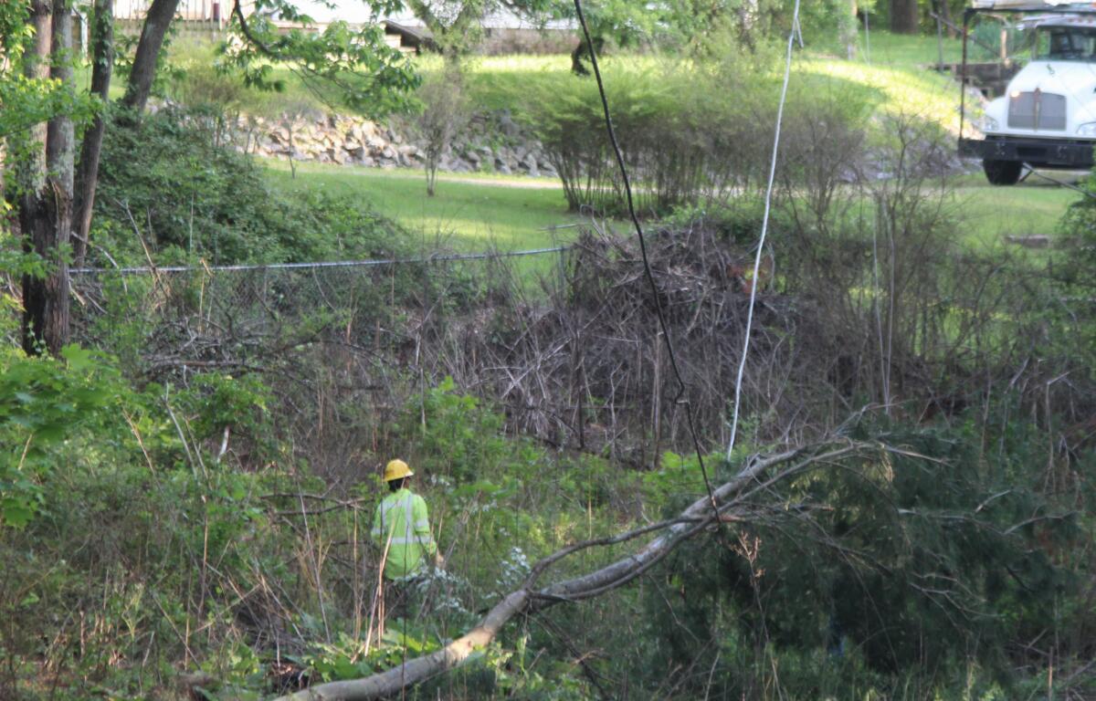
The onslaught included a possible tornado shortly after midnight Thursday morning in the Black Mountain area, where downed trees and power lines led to a number of temporary road closures that crews spent the day clearing.
“We had an area of rotation near the Blue Ridge Parkway, not far from where Craggy Gardens is,” and from there it moved down the mountain into the town, National Weather Service meteorologist Thomas Winesett said.
Through the day Thursday, Black Mountain was dealing with “downed trees, some damage to structures and power outages,” Buncombe County Communications and Public Engagement Director Lillian Govus said of Black Mountain.
“Trees made bus routes difficult for schools this morning,” Govus added.
POSSIBLE TORNADO CAUSES DAMAGE IN BLACK MOUNTAIN
For two days in a row, thunderstorms caused similar problems throughout the region.
Monitoring stations at Asheville Regional Airport recorded almost 1.5 inches of rain, and there were rising water levels in area creeks and the French Broad River.
The National Weather Service issued a flood advisory until early Friday for the French Broad River at Blantyre, affecting Transylvania and Henderson counties, as the river level reached 12.8 feet at 9 a.m. Thursday and was projected to crest at 15 feet by the evening. That would be just shy of flood stage, 16 feet.

Mud Creek was out of its banks and was projected to flood low-lying areas of King Park and the Greenway into Thursday afternoon, the National Weather Service said. Upstream, common flooding of low-lying areas near Erkwood Drive and along Bat Fork Creek were expected to linger.
Thursday’s storms created a mess as they crossed the state line from Tennessee and then swept across North Carolina. A state of emergency was declared in Gaston County, where multiple communities were heavily impacted. The county’s emergency operations center was activated and the New Hope Fire Department reportedly had to extricate a person from a car that was struck by a falling tree, killing one other passenger, according to an emergency alert from the county.
Another casualty in Gaston County: the Belmont Drive-in theater, which reopened last month but saw its screen destroyed in the storm, according to a Facebook post.
Downed trees and power lines were reported in countless communities.
As of 4 p.m. on Thursday, Duke Energy’s outage map showed 44,307 customers across the state still without power, including 1,293 in Buncombe County.
Among the road closures, in Great Smoky Mountains National Park, Cades Cove Loop Road and Greenbriar Road temporarily were closed due to high water and downed trees, and Cherokee Orchard Road was temporarily closed at the park boundary due to a rockslide, according to the National Parks Service.
After all the dark clouds, the silver lining was a lighter weather forecast for the region by Friday.
For Asheville, the National Weather Service was projecting a 30 percent chance of showers on Friday — mainly between 5 p.m. and 7 p.m. — with a high temperature near 74 degrees. Saturday’s forecast was a sunny 70 degrees with mostly clear skies in the evening, while Sunday is predicted to be sunny and mostly clear, with a high near 72 degrees.
SIGN UP FOR OUR NEWSLETTER and BREAKING NEWS ALERTS
LOCAL HERO: Rain, lightning can’t slow man’s mission in West Asheville


