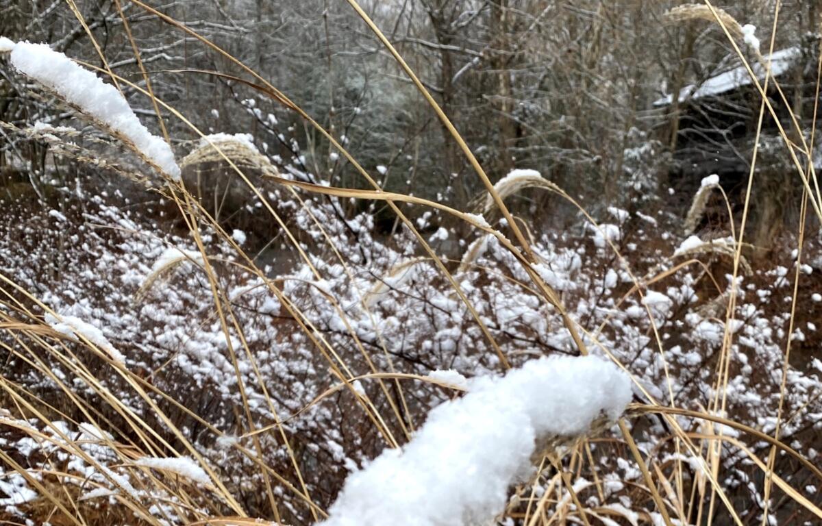

ASHEVILLE, N.C. (828newsNOW) — An Arctic blast is coming. According to the National Weather Service, below-freezing temperatures are possible as far south as Florida and the Gulf Coast.
For Western North Carolina, that means a chance of sprinkles and flurries before 1 p.m. Friday with highs near 42. Lows Friday night are expected to drop to about 19 with wind gusts as high as 33 mph.
According to the National Weather Service, the Arctic blast is expected to spread across the area starting this weekend.
But the question of exactly how cold it will get — and where — remains somewhat up in the air. But it looks like the weekend will be a messy one.
Forecasters said temperatures will be well below normal over the weekend and into next week with a low-pressure system that could bring wintry precipitation to the area late Sunday into Monday.
The weekend forecast, according to the National Weather Service:
- Saturday: Sunny with a high near 36. Northwest wind 13 to 15 mph with gusts as high as 29 mph.
- Saturday night: Mostly clear with a low around 20. Northwest wind 3 to 7 mph.
- Sunday: A 40 percent chance of rain, mainly after 2 p.m. Partly sunny with a high near 44.
- Sunday night: Low around 34. Chance of precipitation is 90 percent.
- Monday: A 30 percent chance of rain before 8 a.m. Mostly sunny, with a high near 45.