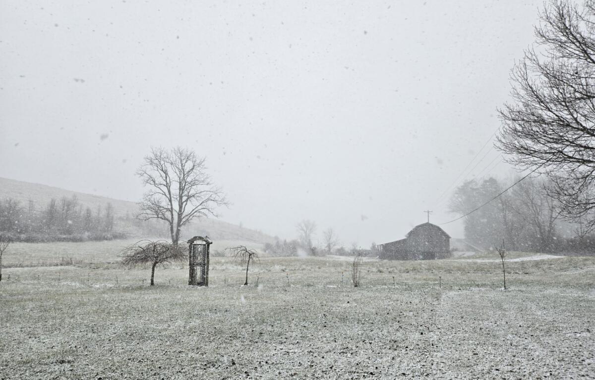

ASHEVILLE, N.C. (828newsNOW) — It’s cold, and light precipitation is expected to develop during the day Sunday, possibly starting as a wintry mix of sleet and snow, then changing to rain with pockets of freezing rain where temperatures hold in the lower 30s, the National Weather Service said.
Any wintry accumulations are expected to be light, and rain should end by midday Monday, according to the National Weather Service forecast. Snow showers are expected near the Tennessee border Monday afternoon into Monday night, with some light accumulations in the usual northwesterly flow upslope areas.
Areas impacted by this forecast include Madison, Swain, Haywood, Buncombe, Graham, Jackson, Macon, Transylvania, Henderson, Burke, McDowell, Rutherford and Polk.
The National Weather Service has issued a Special Weather Statement for Cherokee and Clay counties, effective until 1 p.m. Monday.
A light wintry mix of snow, sleet and freezing rain is expected across the area Sunday morning and early afternoon. While significant snow or ice accumulation is not expected, a light glaze of ice may result in slick roads, especially on bridges and overpasses, the National Weather Service said. Any remaining freezing rain will transition to rain through the afternoon as temperatures rise above freezing.
A Winter Weather Advisory has been issued for the northern mountains of North Carolina until 1 p.m. Monday.
According to the National Weather Service, freezing rain with ice accumulations from a tenth of an inch to nearly one-quarter of an inch is possible. Winds gustis as high as 30 mph are also possible.