
ASHEVILLE, N.C. (828newsNOW) — After Wednesday’s wallop, it could be thunderstorm Thursday in the Asheville area and much of Western North Carolina, with most of the action expected to taper off later in the day.
After thunderstorms swept across Buncombe County in the overnight hours, the area was bracing for more storms through the early part of the day Thursday as severe weather, including tornadoes, worked its way across neighboring Tennessee to the doorstep of North Carolina.
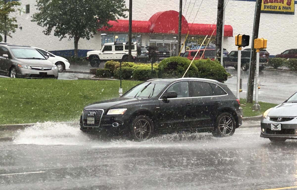
At 5:51 a.m., the National Weather Service issued a hazardous weather outlook for Western North Carolina that called for thunderstorms to continue in the morning, “but it remains to be seen if the atmosphere can recover enough to allow for more severe weather.”
“Nonetheless,” the outlook said, “a few storms may become strong to severe, with the main hazards being damaging wind gusts and small hail.”
LOCAL RESPONDERS FROM BUNCOMBE COUNTY FACE ALLIGATORS … IN FLOOD-RAVAGED TEXAS
The weather service said heavy rainfall might lead to localized flooding and cloud-to-ground lightning would accompany storms.
SIGN UP FOR OUR NEWSLETTER and BREAKING NEWS ALERTS
SIGN UP FOR THE 828newsNOW mobile app in your favorite app store for all the latest news, top stories, breaking news and more.