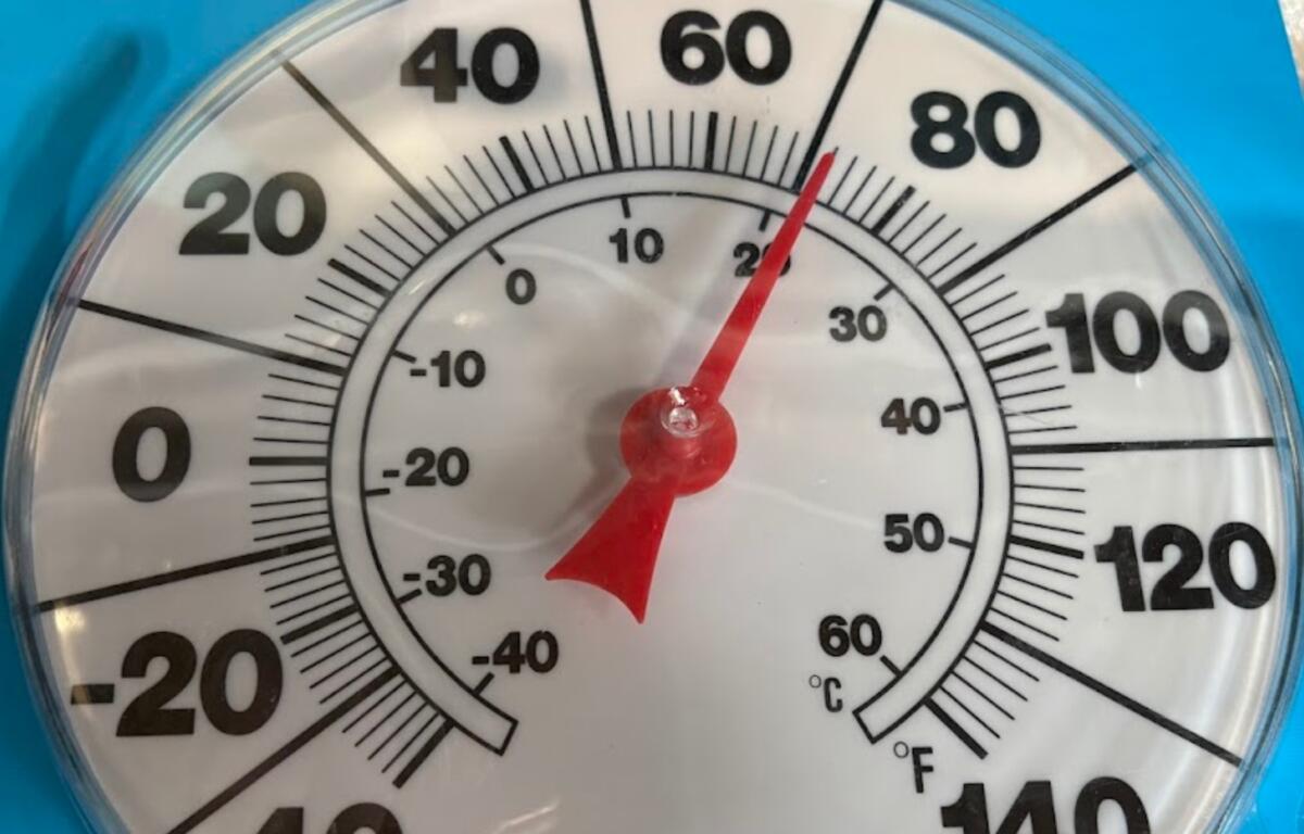

ASHEVILLE, N.C. (828newsNOW) — Better get out the shorts, the Asheville area is expected to be near record temperatures Friday and Saturday.
According to the National Weather Service, the rainfall for March was below normal across most of the area. Most locations saw 80 percent or less of the normal amount, while much of North Carolina saw 60 percent or less, the NWS said. This helped exacerbate drought and dangerous fire weather conditions. Hopefully, April will be wetter, helping to alleviate the dry conditions.
The forecast for the weekend, according to the National Weather Service:
- Today: Partly sunny, with a high near 80. South wind 7 to 13 mph, with gusts as high as 23 mph. Chance of precipitation is 20 percent.
- Tonight: A 30 percent chance of showers, mainly before 8 p.m. Patchy fog after 3 a.m. Otherwise, mostly cloudy, with a low around 62. South-southeast wind 5 to 7 mph.
- Friday: Patchy fog before 9 a.m. Otherwise, mostly sunny, with a high near 86. Light southeast wind becoming south southwest 5 to 9 mph in the morning.
- Friday night: Partly cloudy, with a low around 63. South wind 3 to 6 mph.
- Saturday: Mostly sunny, with a high near 85. South wind 5 to 13 mph, with gusts as high as 24 mph.
- Saturday night: Mostly cloudy, with a low around 62.
- Sunday: Showers, mainly after 8 a.m. The rain could be heavy at times. High near 74. Chance of precipitation is 80 percent.
- Sunday night: Showers, mainly before 10 p.m. Low around 49. Chance of precipitation is 80 percent.