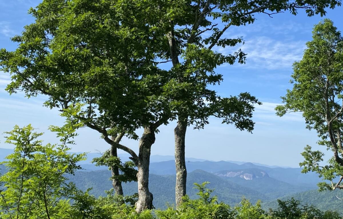

ASHEVILLE, N.C. (828newsNOW) — Warm and humid conditions will persist across Western North Carolina through the weekend, with scattered afternoon and evening showers and thunderstorms expected each day, according to the National Weather Service.
Forecasters said the primary hazards through Friday night include heavy rainfall and isolated flash flooding, particularly in areas east of the mountains. Although skies were overcast Friday morning, a few breaks in the clouds were possible by midday.
A few small showers remain over the Upstate and Piedmont areas, but those were weakening quickly, meteorologists said in a Friday morning update.
Temperatures are expected to remain near normal through Sunday night. A warming trend is forecast to begin early next week, with continued daily chances of showers and thunderstorms through at least Wednesday.
The weather service said residents and visitors should remain alert for changing weather conditions and localized flooding, especially during the afternoon and evening hours when storm activity is most likely.
The weekend forecast, according to the National Weather Service:
- Today: High near 81. Light south wind. Chance of precipitation is 80 percent.
- Tonight: Showers and thunderstorms likely, mainly before 11 p.m. Patchy fog after midnight. Otherwise, mostly cloudy, with a low around 66. Light south wind. Chance of precipitation is 60 percent.
- Saturday: High near 85. Calm wind becoming south-southwest around 5 mph in the afternoon. Chance of precipitation is 80 percent.
- Saturday night: Low around 65. South wind around 5 mph becoming calm in the evening. Chance of precipitation is 80 percent.
- Sunday: High near 83. Calm wind becoming south-southwest around 6 mph in the afternoon. Chance of precipitation is 80 percent.
- Sunday night: Low around 66. Chance of precipitation is 80 percent.