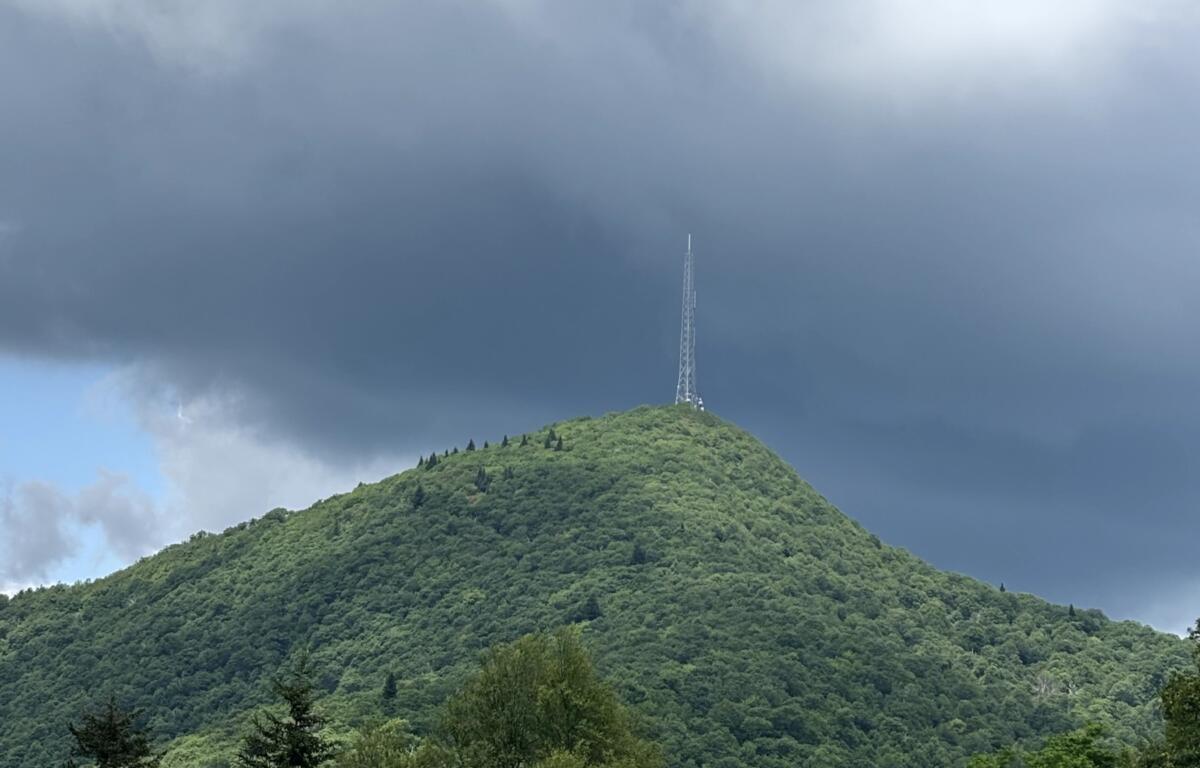

ASHEVILLE, N.C. (828newsNOW) — A typical summer weather pattern remains in place across the region, bringing seasonable temperatures and the potential for afternoon and evening thunderstorms, according to the National Weather Service in Greenville-Spartanburg.
Highs are expected to reach the upper 80s to lower 90s across much of the area Monday, with scattered to numerous showers and storms developing later in the day. Forecasters warn that any storms could produce heavy rainfall and gusty winds, with the possibility of an isolated severe microburst.
Storm activity is forecast to increase Tuesday as a cold front approaches the region, bringing a slight uptick in the potential for strong to severe thunderstorms.
Drier conditions are expected to return following the frontal passage, setting up a calmer and more pleasant holiday weekend.
The forecast for the week, according to the National Weather Service:
- Today: Scattered showers and thunderstorms, then showers likely and possibly a thunderstorm after 3 p.m. Mostly sunny, with a high near 87. Calm wind becoming south around 6 mph in the afternoon. Chance of precipitation is 60 percent.
- Tonight: Mostly cloudy, with a low around 66. Light and variable wind. Chance of precipitation is 40 percent.
- Tuesday: Showers and thunderstorms likely. High near 84. Calm wind becoming southwest around 6 mph in the afternoon. Chance of precipitation is 80 percent.
- Tuesday night: Low around 65. South-southwest wind around 5 mph becoming calm in the evening. Chance of precipitation is 80 percent.
- Wednesday: A 30 percent chance of showers and thunderstorms, mainly after 4 p.m. Mostly sunny, with a high near 87. North-northwest wind 3 to 6 mph.
- Wednesday night: Mostly clear, with a low around 62.
- Thursday: Sunny, with a high near 88.
- Thursday night: Mostly clear, with a low around 63.
- Independence Day: Sunny, with a high near 89.
- Friday night: Mostly clear, with a low around 65.