
ASHEVILLE, N.C. (828newsNOW) — The Blue Ridge Parkway has launched a series of online and downloadable tools to help the public track roadway improvement and recovery projects linked to the aftermath of Tropical Storm Helene.
The updated resources, now available on the maps page of the National Park Service’s website, include detailed regional maps for North Carolina, the Highlands area, and the Asheville/Pisgah region. The maps show closures, bridge construction sites and estimated reopening timelines.
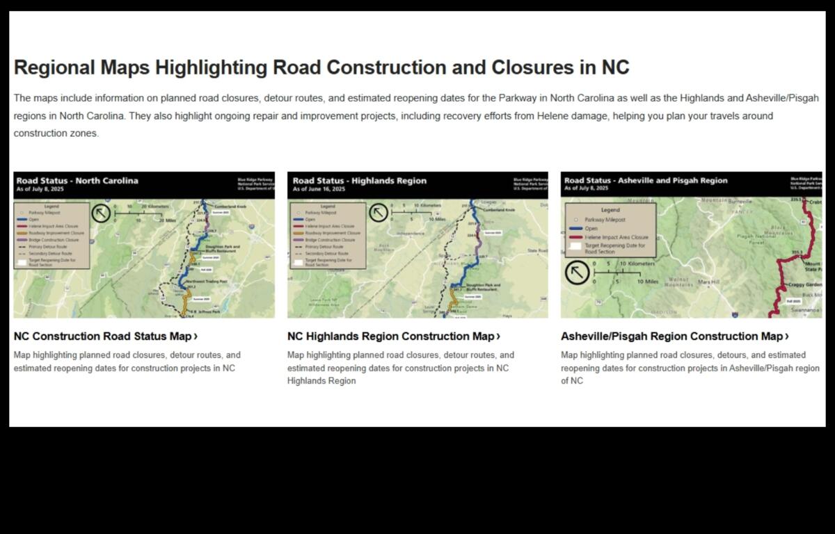
The Highlands map outlines closures between milepost 217 at Cumberland Knob, near the Virginia-North Carolina state line, and milepost 339.5 at Crabtree Falls. The Asheville/Pisgah map covers the stretch from Crabtree Falls to the parkway’s southern end at milepost 469 in Cherokee, North Carolina.
In addition, the parkway’s “Helene Recovery Projects — At a Glance” page provides an overview of the repair phases, project statuses, timelines and photo documentation of the damage and recovery progress.
Officials say phase one of the Helene recovery efforts is nearing completion, with some sections expected to reopen in the coming weeks.