
ASHEVILLE, N.C. (828newsNOW) — The National Weather Service in Greenville-Spartanburg issued a Special Weather Statement Tuesday afternoon for parts of Western North Carolina as a strong thunderstorm stalled near the Madison County area.
At 2:37 p.m., Doppler radar tracked a nearly stationary storm about 10 miles west of Marshall and 9 miles south of Hot Springs. Forecasters warned of wind gusts reaching up to 40 mph and pea-sized hail.
The storm could cause minor damage, including downed tree limbs and unsecured objects being blown around, the weather service said. Hail could also damage outdoor property.
The storm was expected to impact several communities, including Marshall, Hot Springs, Leicester, Walnut, Luck, Fines Creek, Canto, Spring Creek, Max Patch and Flat Creek.
Forecasters also noted that torrential rainfall could lead to localized flooding and advised motorists to avoid driving through flooded roads.
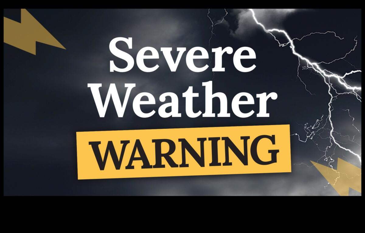
Scattered to numerous thunderstorms are expected this afternoon and evening. A few storms could become strong to severe, capable of producing damaging wind gusts, according to the National Weather Service. Heavy rainfall is also possible with any shower or thunderstorm that develops.