
ASHEVILLE, N.C. (828newsNOW) — Gusty winds and cold air sweeping through Western North Carolina have caused multiple power outages and scattered snow showers across the region.
While Asheville saw only a light dusting, Yancey County reported about 3 inches of snow, according to the National Weather Service in Greenville-Spartanburg. Snowfall is expected to increase across the mountains this afternoon and evening, particularly in North Carolina counties bordering Tennessee.
A Winter Storm Warning is in effect for high elevations in Swain County, while Winter Weather Advisories cover surrounding areas. Scattered snow showers could develop east and south of the Tennessee border counties from about 3-8 p.m. Some areas may see brief bursts of moderate to heavy snow, though most locations will see little to no accumulation. Isolated spots could receive 1 to 2 inches, with northern Buncombe County, including Weaverville, and the high elevations of northern Macon and Jackson counties most likely to see significant snow outside advisory and warning areas.
Travelers are urged to exercise caution, slow down and allow extra space between vehicles if roads become snow-covered.
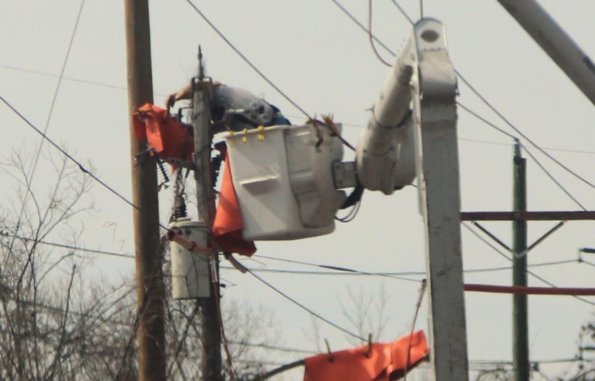
Strong winds have been the main cause of disruptions. In Buncombe County, seven outages are affecting 16 customers, with power expected to be restored by 5 p.m., according to Duke Energy. Earlier in the day, several hundred people were without electricity.
Henderson County is experiencing four outages, leaving 3,380 customers without power. Electricity is expected to return by 4:30 p.m.
The winter weather is also affecting the Blue Ridge Parkway, where numerous closures have been reported from Blowing Rock to Great Smoky Mountains National Park.
Due to the forecasted winter storm, U.S. 441/Newfound Gap Road and Roaring Fork Motor Nature Trail are closed.