GERTON, N.C. (828newsNOW) — Strawberry Gap Trail, located just over the mountain from Hickory Nut Gap Farm, is a steep climb filled with unique natural structures and a couple terrific views.
Fast facts
- Looking for the entrance to Strawberry Gap Trail? It’s located immediately after the “Welcome to Gerton” sign
- Strawberry Gap is an out-and-back hike, spanning 5.1 miles total, or roughly two-and-a-half miles both ways
- There is a steep climb on the way up. Bring plenty of water and potentially a hiking stick
- Strawberry Gap is located inside of the Southern Appalachian Highlands Conservancy, which means dogs are not allowed and transportation modes like horses and motorcycles are prohibited
Minding the gap
Unlike other hikes in the area, Strawberry Gap requires a little more preparation before hitting the trail. For one, it’s located inside of the Southern Appalachian Highlands Conservancy, privately owned land dotted with publicly-accessible trails maintained by Conserving Carolina. That means there are a couple more rules to follow: no dogs, no horses, no camping and absolutely no trekking off-trail. However, the trail is a beautiful climb, making the extra attention well worth the effort.
After parking in the sizable gravel lot, hikers can read about Strawberry Gap and other nearby trails at a kiosk, before dipping behind the wooden fence and beginning their walk uphill.


The Strawberry Gap route is well-maintained but fairly narrow, making for a single-file hiking experience if adventuring in a group. For the first leg of the journey, the trail is a smooth ride, if at a bit of a breathless incline. Water is a must.
Because it runs through private land, Strawberry Gap Trail is often intersected by private trails. No need to worry about confusing one of these for the right path, though. Each intersection is well-marked with warning poles. Additionally, Conserving Carolina has marked the Strawberry Gap route with their blazes, small, blue discs nailed into the trees.


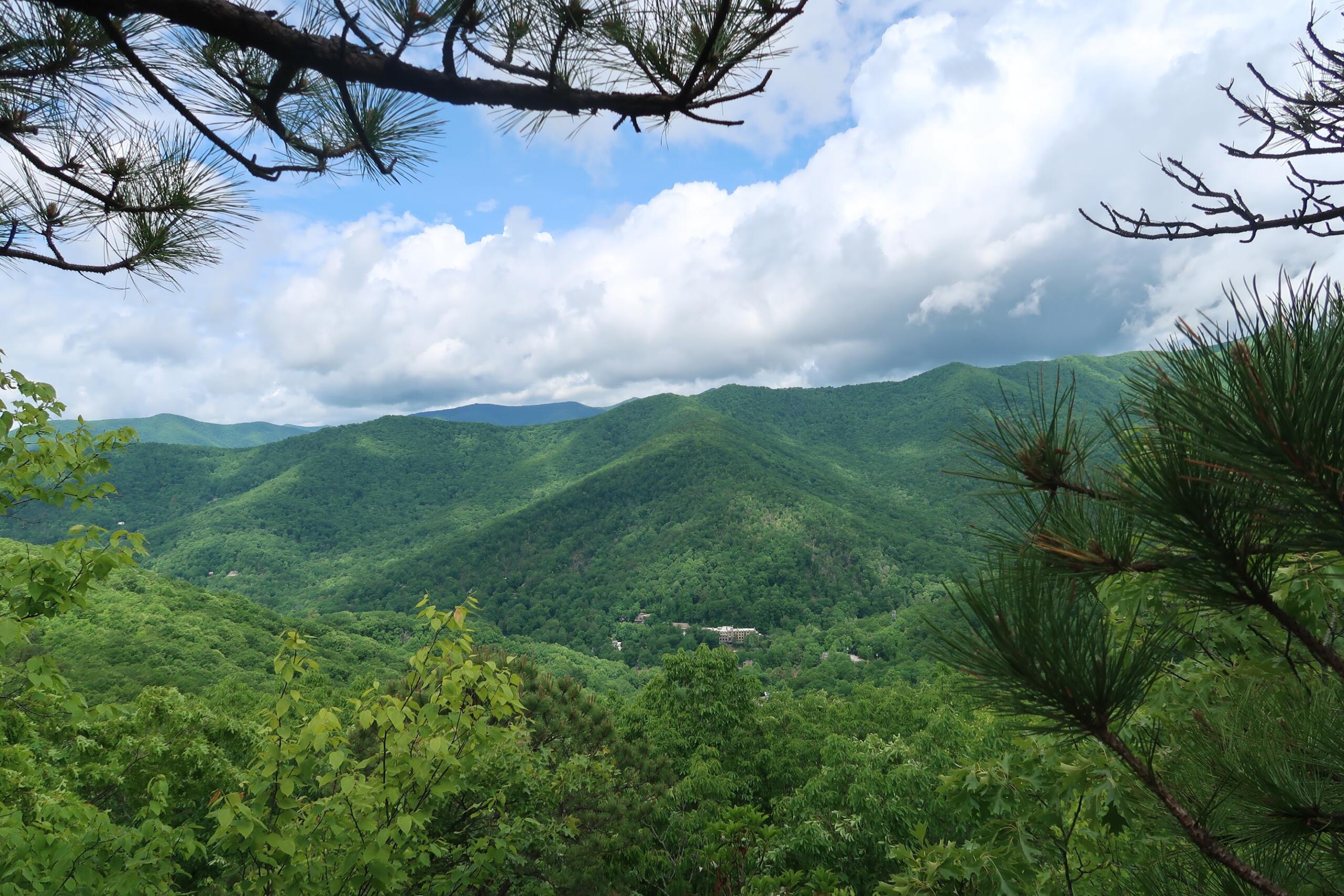
While on a clear day, hikers might associate their Strawberry Gap hike with fetching, far flung views of the Blue Ridge Mountains, foggy days on the trail have their own bits of magic. Along the path, interesting tree shapes and moss-covered boulders create an otherworldly feel to the surrounding flora, like a walk through an alien jungle.


Like many hikes in Western North Carolina, Strawberry Gap was not immune to the effects of Tropical Storm Helene. Be careful around one muddy slope, which tore apart trees, rocks and earth in dramatic, erosive fashion.

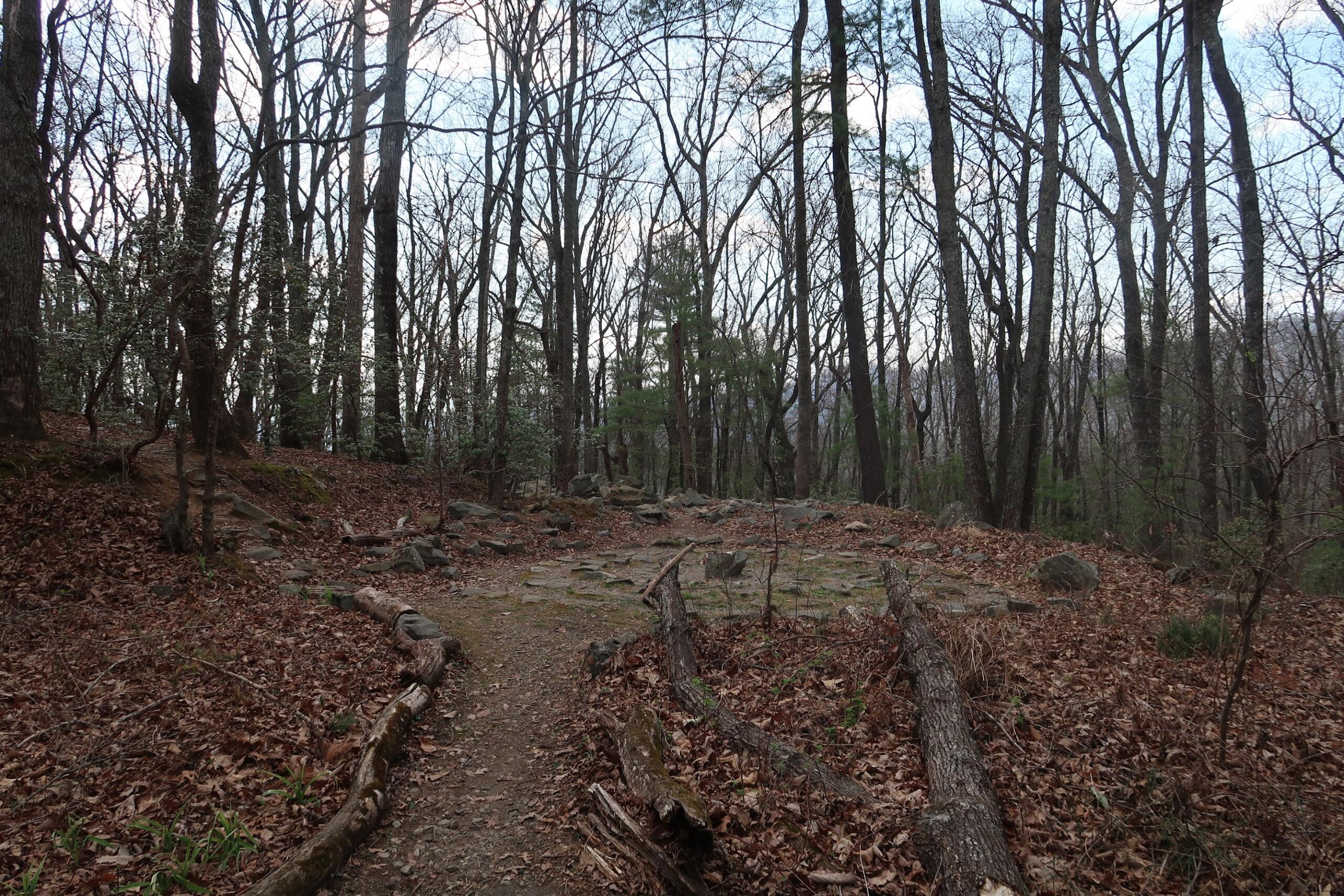
One particularly picaresque leg of the trail is a flat, tree stump-dotted clearing near the summit of the hike. Though it may look like a perfect camping site, that is against SAHC rules. Use your imagination and admire the Blue Ridge views, instead.

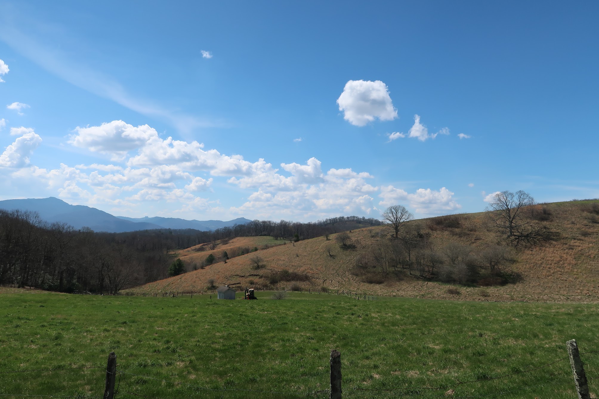
The turn-around point for Strawberry Gap hikers will be preceded by several wooden fences, each marked with a Conserving Carolina badge. These serve as borders for Blue Ridge Pastures, a panoramic field which connects Strawberry Gap Trail to the nearby Trombatore Trail, an extra leg for the hiker seeking extra credit.


After all the celebratory frolicking your heart desires, it is time for the second half of your Strawberry Gap hike. Simply turn around and head back the way you came.
One additional landmark of note: Next to the kiosk at the start of the trail is a memorial marker honoring Susie Skinner Clarke Hamilton (Dec. 3, 1946 – March 8, 2020). The land Strawberry Gap runs through was acquired over a century ago by Hamilton’s grandparents. The trail is now dedicated to her memory.
“For the beauty of each hour/of the day and of the night/hill and vale and tree and flower/sun and moon and stars of light/Lord of all to thee we raise/this our hymn of grateful praise,” Hamilton’s marker reads.

-
Hikes of WNC: Lookout Trail

As peak hiking season hits Western North Carolina, trek out to Montreat outside of Black Mountain, N.C. for a climb up Lookout Trail. The technical route requires stamina and some rock scrambling, but its views of the Swannanoa Valley are unmatched.
-
Hikes of WNC: Flat Top Mountain Trail

Flat Top Mountain Trail is a rewarding trek with diverse terrain near Moses Cone Manor on the Blue Ridge Parkway. Read more in our hiking guide below.
-
Hikes of WNC: Devil’s Courthouse
Don’t let the name fool you. Devil’s Courthouse on the Blue Ridge Parkway boasts some truly angelic views, even if the hike up is hellish on the calves. Read more in our hiking guide.
-
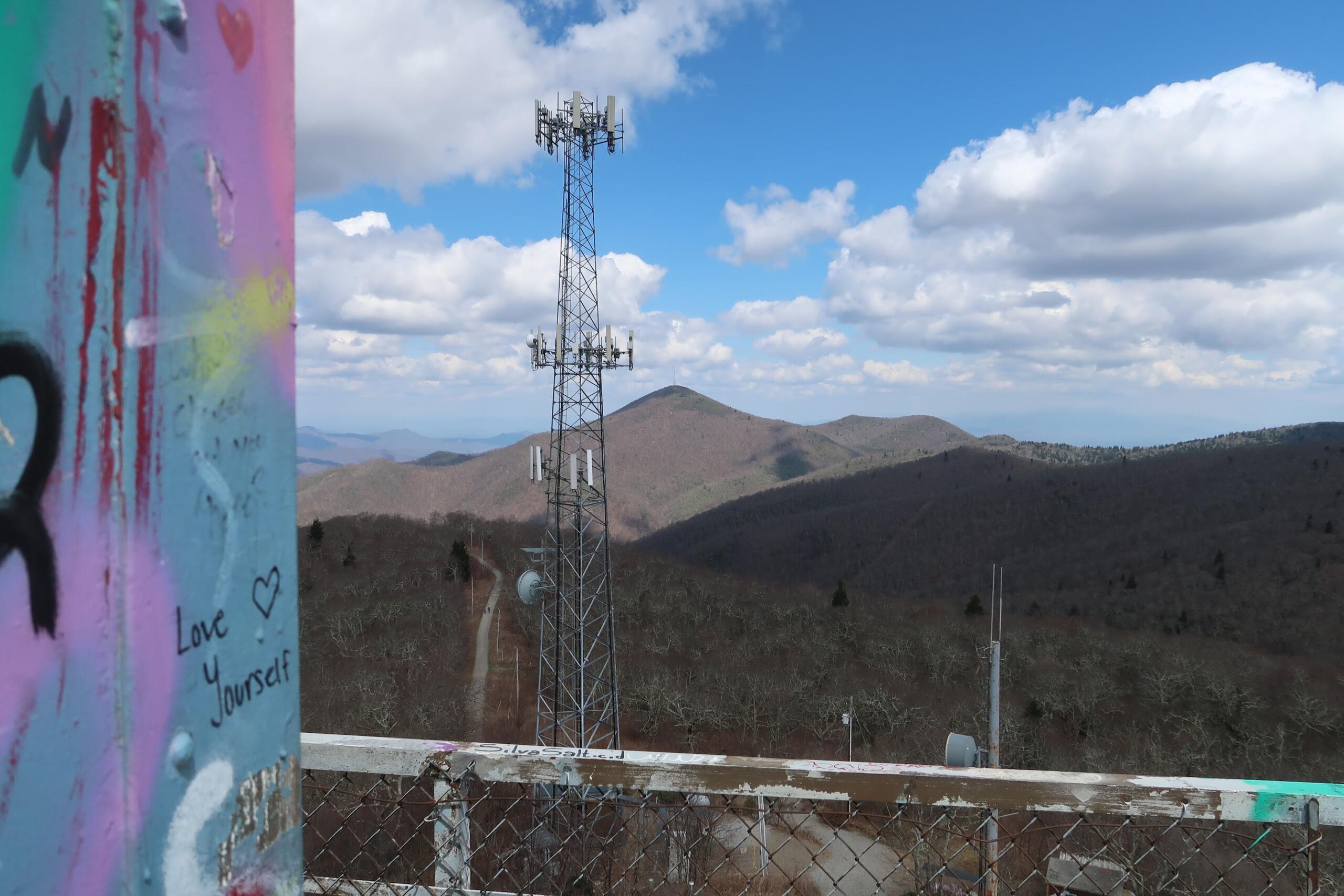
Hikes of WNC: Fryingpan Mountain Lookout Tower
Fryingpan Mountain Lookout Tower is a decommissioned U.S. Forest Service firewatch station along the Blue Ridge Parkway. The 70-foot tower climb is one of the most iconic hikes in Western North Carolina.
-
Hikes of WNC: Bull Mountain Trail
Bull Mountain Trail may seem like a simple, unassuming walk, but there is magic to be found for those looking closely. Read our hiking guide for more.