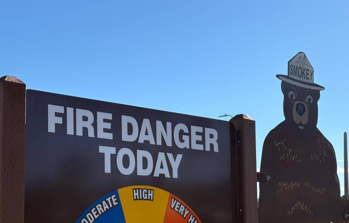

ASHEVILLE, N.C. (828newsNOW) — Residents in the Asheville area are facing high fire danger Thursday as dry conditions continue and gusty winds are expected.
Broad River Fire & Rescue warned that winds with gusts of 20-25 mph are forecast from around noon through the evening, and surface fuels remain dry. Officials encouraged residents to postpone any open burning. No burn bans are currently in effect.
The U.S. National Weather Service in Greenville-Spartanburg said warm, dry weather will continue Thursday, with rainfall chances gradually increasing Friday through Sunday. Temperatures are expected to remain well above normal, with near-record highs possible.
Friday looks like the most likely day to see some record highs tied or broken, while overnight record high minimum temperatures could be challenged any night this week, the service said.
Highs Thursday will reach the upper 70s to around 80 east of the mountains, and the 60s to mid-70s in the mountains. Lows Thursday night will be near 52, with increasing clouds.
Forecast highlights:
- Friday: Slight chance of showers before 4 p.m., then chance of showers and thunderstorms; high near 78, low around 58.
- Saturday: Partly sunny, high near 77, 40 percent chance of afternoon showers. Winds could gust up to 20 mph.
- Sunday: Mostly cloudy, high near 73, 60 percent chance of showers and thunderstorms.