
ASHEVILLE, N.C. (828newsNOW) — A round of much-needed rain is on the way to Western North Carolina, but it could come with a few stronger storms mixed in.
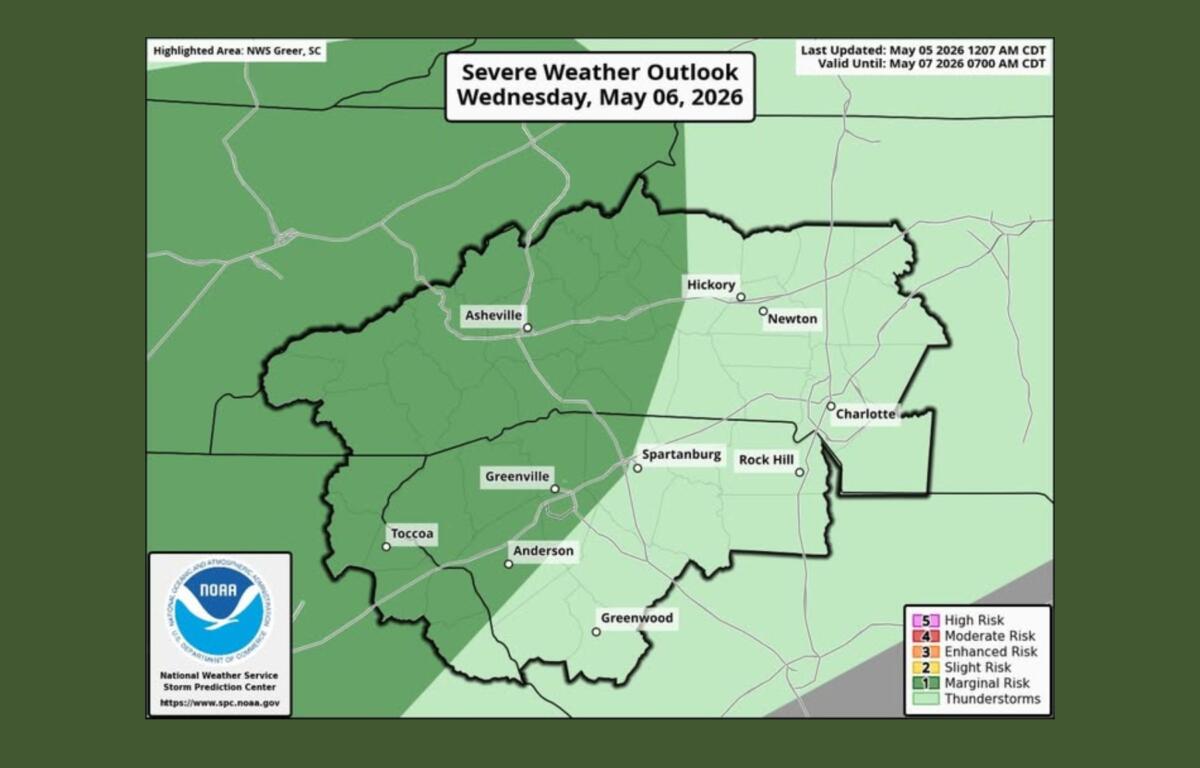
Forecasters with the National Weather Service Greenville-Spartanburg say a cold front moving into the region Wednesday will bring scattered showers and thunderstorms through Thursday night. While widespread severe weather isn’t expected, the area is under a Level 1 out of 5, or “marginal,” risk for severe storms.
That means a few storms could turn strong, especially Wednesday afternoon and evening. The main concerns are isolated large hail and damaging wind gusts. Brief periods of heavy rain are also possible, though the risk for flash flooding remains low and highly localized.
Meteorologists say the timing and strength of storms Wednesday is still somewhat uncertain. Some early-day showers could weaken as they move in, but there’s a better chance for storms to redevelop later in the afternoon and evening as conditions become more favorable.
Most areas are expected to pick up around an inch of rain, with some locations seeing higher totals. In some spots, multiple rounds of rain are possible through early Thursday.
Despite the potential for heavier rainfall, forecasters say ongoing drought conditions across the region should help limit any widespread flooding issues.