


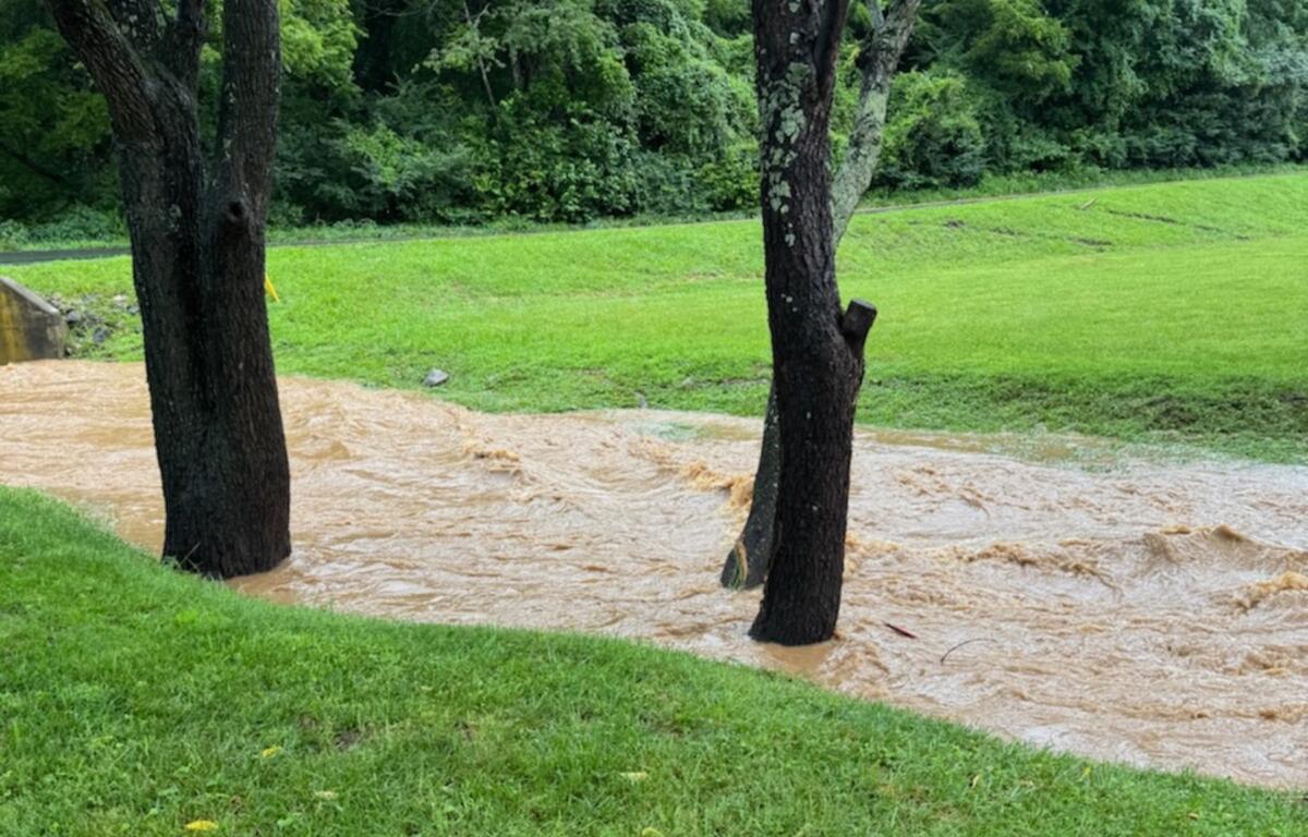

ASHEVILLE, N.C. (828newsNOW) — Asheville set a 118-year daily rainfall record Thursday as rounds of heavy rain flooded roads, stranded several vehicles and prompted warnings that more flooding is possible through Friday and into Saturday.
The National Weather Service in Greenville-Spartanburg said 1.73 inches of rain fell Thursday at Asheville Regional Airport, breaking the previous July 23 record of 1.65 inches set in 1908. Rainfall records for the Asheville area date back to 1869.
Forecasters said additional rainfall of 1 to 3 inches is expected through Friday night, with isolated locations receiving as much as 5 inches, especially south of Interstate 40 into parts of Upstate South Carolina and northeast Georgia.
Clouds and rain will also keep temperatures unusually cool Friday, with highs expected to remain more than 10 degrees below normal across much of the region.
Heavy rain Thursday caused flooding in several parts of Buncombe County.
Buncombe County Emergency Management reported a vehicle became trapped in floodwaters on Meadow Road near Biltmore Village Thursday evening, and a driver near Beaver Lake reported a stranded car off Osborne Road.
Flooding also covered portions of Smokey Park Highway near the Goodwill store, where water filled the parking lot by several inches, according to social media posts from residents and businesses.
Another resident reported flooding along Broadway near the University of North Carolina Asheville, saying Reed Creek Greenway was underwater in places and water had spread into nearby yards. Officials urged drivers to avoid flooded roads and never drive through standing water.
In Woodfin, police said closed sections of Weaverville Road reopened Thursday evening after high water receded.
Forecasters said the greatest threat for additional heavy rain Friday will be across the southern half of the National Weather Service’s coverage area, where storms that develop could produce exceptionally high rainfall rates because they are expected to move slowly along a stalled front.
Despite the continued threat, forecasters said they are not issuing a Flood Watch for Friday because the areas expected to receive the heaviest rainfall generally saw less rain Thursday.
The Weather Prediction Center continues to place much of the southern portion of the forecast area under a slight risk for excessive rainfall Friday.
The unsettled pattern is expected to continue into Saturday before drier air gradually moves into the region. By Sunday through Tuesday, forecasters expect a return to more typical late-July weather with warmer temperatures, increasing humidity and scattered afternoon and evening thunderstorms.
Motorists are urged to use caution, especially near creeks, rivers and low-lying roads that can flood quickly during heavy downpours. The National Weather Service reminds drivers to “Turn Around, Don’t Drown,” as most flood-related deaths occur in vehicles.