


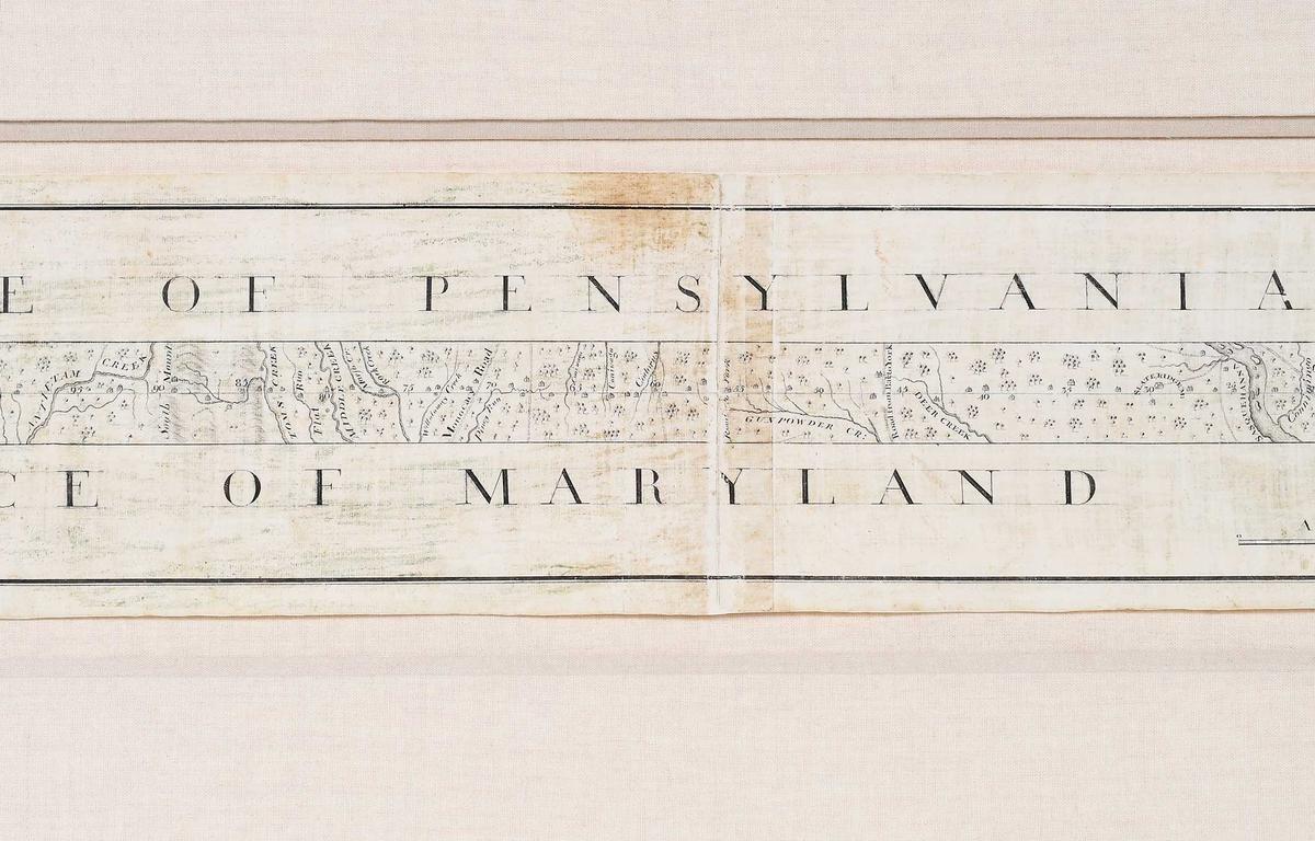

ASHEVILLE, N.C. (828NewsNow.com) – A map drawn in the 1700s by Charles Mason and Jeremiah Dixon has had a home at Brunk Auctions in Asheville for the past few months. Now it’s getting ready to depart for its new home.
The map, known as the Mason-Dixon Line Map, was auctioned off by Brunk Auctions on Tunnel Road on Oct. 29. After 45 bids, the map’s winning bid was $950,000. In additions to the buyer’s premium, the total amount of the sale was $1,187,500, according to Brunk Auctions.
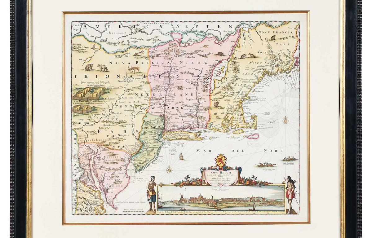
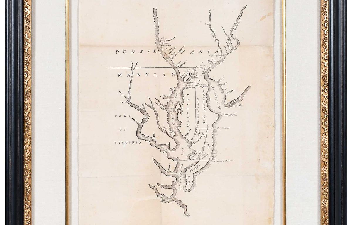
Photo credit: Brunk Auctions
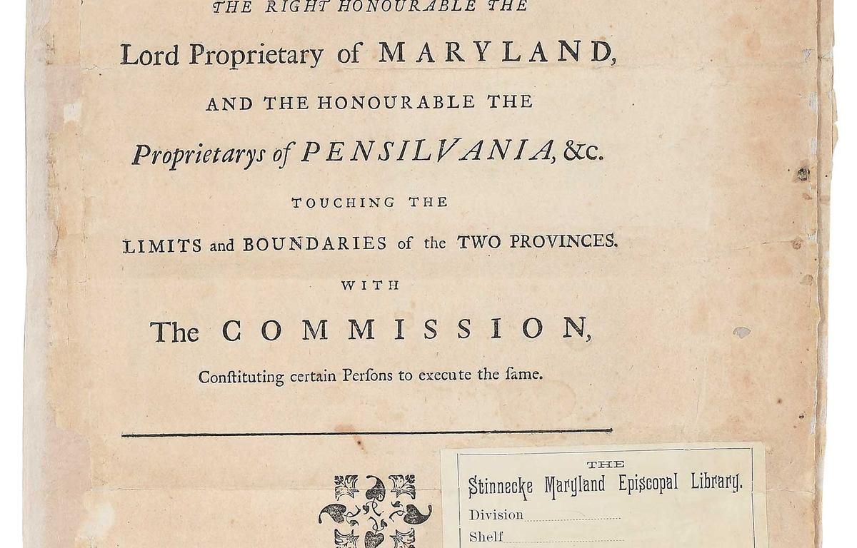
Photo credit: Brunk Auctions
A spokesperson at Brunk Auctions told 828NewsNow that information about the buyer couldn’t be disclosed. Christie’s had previously estimated the map’s value to be between $800,000 to $1.2 million.
According to Brunk Auctions, the map was drawn between 1767-1768 by Mason and Dixon, and it represented the symbolic boundary between the Northern and Southern states.
Brunk Auctions said in a news release that the map was originally owned by Benjamin Chew, who was the chief justice of Pennsylvania. The Chew family sold the map at Christie’s in 1982, where publishing magnate Malcolm Forbes acquired it for $360,000, the release said.
Two decades later, the manuscript returned to Christie’s and was later sold in March 2002 for $556,000 to a private collector. The manuscript remained on view at Colonial Williamsburg through March 2006.
In addition to the Mason-Dixon Line Map, these three other maps were also auctioned on Oct. 29:
- Articles of Agreement, map of Pennsylvania, Maryland and part of Virginia (1733) by Charles Calvert, printed by Benjamin Franklin: Winning bid of $120,000
- A Chorographical Map, of the Country, round Philadelphia (1778): Winning bid of $16,000
- Map of New Belgium and also of New England, and moreover of part of Virginia (1729): Winning bid of $4,250