


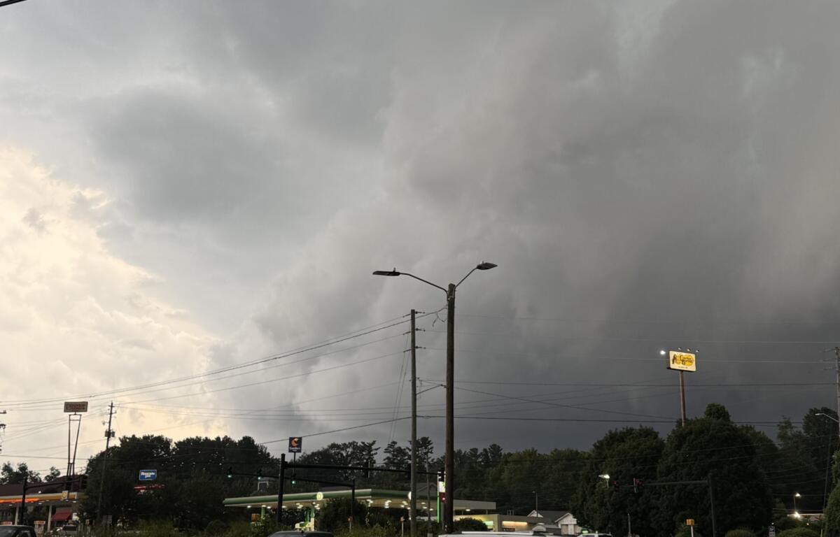

ASHEVILLE, N.C. (828newsNOW) — A severe thunderstorm warning is in effect Sunday afternoon for parts of Henderson, Polk and Buncombe counties, with wind gusts up to 60 mph and nickel-size hail possible.
The warning, issued by the National Weather Service in Greenville-Spartanburg, is in effect until 4:30 p.m.
At 3:20 p.m., radar indicated a severe thunderstorm about 9 miles northeast of Hendersonville, or 4 miles west of Bat Cave, moving southeast at about 20 mph.
The warning includes:
- Northeastern Henderson County
- Western Polk County
- South-central Buncombe County
Communities in the warning area include Arden, Fletcher, Fairview, Saluda, Bat Cave, Asheville Regional Airport, Skyland, Edneyville, Dana and Gerton.
The National Weather Service said the storm could produce 60 mph wind gusts and hail up to 0.88 inches in diameter. The strongest winds could damage trees and power lines.
Residents in the warning area should move inside to an interior room on the lowest floor of a sturdy building.
The warning is based on radar indications rather than a report of damage or hail.