
ASHEVILLE, N.C. (828newsNOW) —
A strong storm that “showed rotation” caused damage in Black Mountain shortly after midnight, the National Weather Service said Thursday afternoon.
The possible tornado was tracked in a storm that hit about 12:15 a.m.
“We had an area of rotation near the Blue Ridge Parkway not far from where Craggy Gardens is. It moved down the mountain to Black Mountain,” NWS meteorologist Thomas Winesett said.
He said some damage was reported in the area. A damage survey team may be sent to the area Friday to determine if it was a tornado or straight-line winds, Winesett said.
Parts of several roads in the Black Mountain area are closed because of downed trees and power lines, city officials said in a statement on the town’s website. People are asked to avoid these areas and do not approach any downed power lines.
Damaged areas are being assessed by fire, police and public works departments, as well as Duke Energy.
Black Mountain road closures include:
Laurel Circle Drive
South Laurel Circle
Montreat Road at North Fork is currently one-lane with work in progress.
U.S. 70, coming from Exit 65 off Interstate 40, is closed leading into downtown (State Street) (There are signs directing I-40 traffic of the detour).
North Fork Road at North Fork Right Fork Road
South Cotton Avenue
The overnight storms that lit up the sky into Thursday morning also have lit up power outage maps for local utility providers.
More than 72,000 Duke Energy customers in North Carolina were powerless as of 9 a.m. Thursday. Haywood EMC was reporting 1,964 customers without electricity.
A Flood Advisory is in effect until early tomorrow afternoon for the French Broad River at Blantyre, affecting Transylvania and Henderson counties. The river was at 12.8 feet at 9 a.m. Thursday and was expected to crest at 15 feet by evening, the National Weather Service said.
Action stage is 15 feet and flood stage is 16 feet. At 15 feet, most farm fields between the French Broad River and Brevard Road and between the French Broad River and Pleasant Grove Road are flooding, weather officials said.
A Flood Advisory has been issued for Henderson County and will remain in effect until 10 p.m. Thursday.
Mud Creek is out of its banks and will continue to flood low-lying areas of King Park and the Greenway into the afternoon hours, the National Weather Service said. Upstream of these locations, common flooding of low-lying areas near Erkwood Drive and along Bat Fork Creek will linger.
Meanwhile, a possible tornado was reported in Upstate South Carolina, according to the National Weather Service.
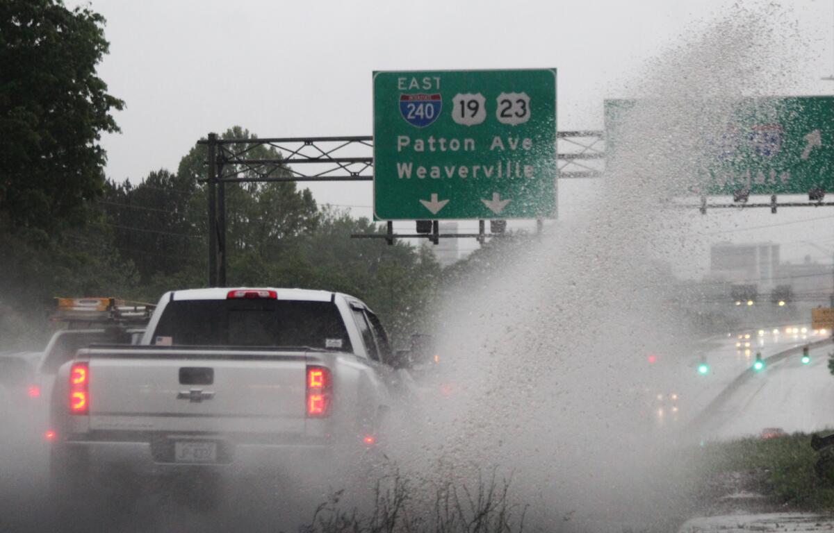
All the rain and wind have made driving tricky. In Asheville, Hiawassee Street is closed between Rankin Avenue and South Lexington Avenue. City officials in Hendersonville said several roads were closed because of downed trees. “But those have mostly been cleared or are being cleared,” a city spokesperson said.
Widespread rain and thunderstorms, some severe, are expected to continue through the morning before clearing out Thursday afternoon, according to the National Weather Service.
SIGN UP FOR OUR NEWSLETTER and BREAKING NEWS ALERTS from 828newsNOW.com
Then, a cold front will push through Thursday night into early Friday morning, allowing for drier conditions. But that will be quick-lived with another system approaching out of the south brings another chance of storms Friday.
But the weekend is looking good. Drier conditions and below-normal temperatures are expected Saturday and Sunday.
As for power outages, the situation was changing frequently.
Duke map: Outage Map – Duke Energy (duke-energy.com)
Haywood EMC map: Outage Information | Haywood EMC
As of 9:15 a.m., Duke Energy outages by county:
Buncombe – 2,528
Cherokee – 549
Graham – 332
Henderson – 587
Jackson – 3,022
Macon – 514
Madison – 20
McDowell – 125
Mitchell – 115
Rutherford – 144
Swain – 470
Transylvania – 20
Yancey – 5
SIGN UP FOR OUR NEWSLETTER and BREAKING NEWS ALERTS from 828newsNOW.com