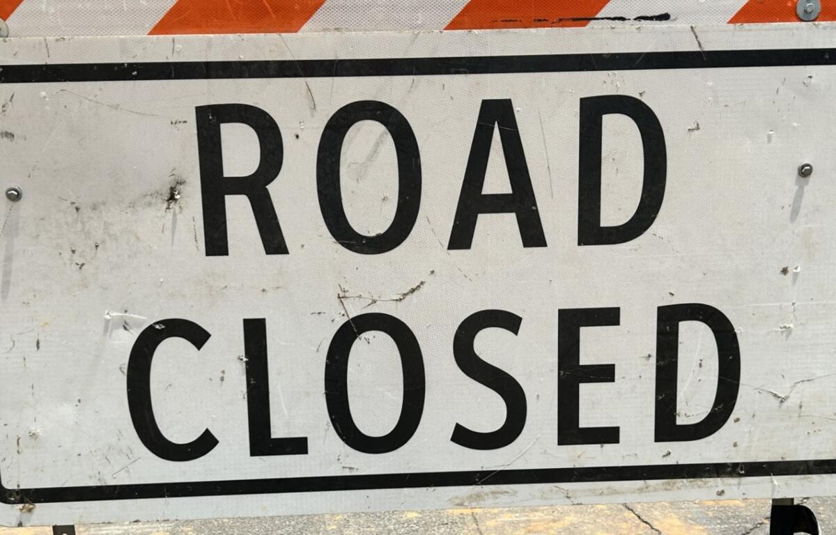

ASHEVILLE, N.C. (828newsNOW) — Officials made the call to close some roads across Western North Carolina ahead of Hurricane Helene, which is expected to bring heavy rainfall, landslides and other severe weather impacts to the mountains through Friday. Heavy rain overnight Wednesday into Thursday morning added to the list.
PREPARING FOR HURRICANE HELENE: WHAT YOU NEED TO KNOW
The N.C. Department of Transporation (NCDOT) has a specific “Hurricane Helene” tab on its real-time traffic web page. CLICK HERE, then click on the ‘Hurricane Helene’ tab to see the most up to date major roadway closures.
Asheville
NC 81 (Swannanoa River Road) is closed in both directions between U.S. 74. Alternate (South Tunnel Road) and Biltmore Avenue.
N.C. 81 (Swannanoa River Road) is closed in both directions near Azalea Road.
S.R. 3556 (Amboy Road) is closed between Interstate 240 and Meadow Road.
S.R. 3116 (Mills Gap Road) is closed near Lower Christ School Road near Arden.
The city is directing people to NCDOT’s drivenc.gov website for the most up to date closures.
Woodfin
U.S. 25 (Weaverville Road) is closed in both directions from Senator Reynolds Road to Baird Cove Road.
U.S. 19 BUS (Weaverville Road) is closed in both directions from Senator Reynolds Road to Baird Cove Road.
Marshall
S.R. 1206 (Rollins Road) in Marshall is closed in both directions.
Macon County
The N.C. Department of Transportation has closed N.C. 106 in both directions near the Blue Valley Overlook, southeast of Highlands. Heavy rains have caused a fill slope failure, impacting the roadway about seven miles from the Georgia border.
The slide has partially undermined the northbound lane on this designated truck route into Highlands from the southwest. NCDOT has placed message boards where N.C. 23/441 meets N.C. 106 to provide advance notice to drivers.
A detour has been determined for both trucks and other vehicles until the road is deemed safe to open.
NC 106 North detour for cars: Take NC 106 South to GA 246 West, then to US 23-441. Turn right onto US 23-441 North and follow for 12.9 miles. Then, take the ramp to US 23 North/US 64 East/US 441 North Bypass and follow to exit 69. Turn right onto US 64 East/NC 28 South and follow 16.7 miles to Highlands.
NC 106 South detour for cars: In Highlands, take US 64 West/NC 28 North to Franklin and follow for 16.8 miles. Turn left onto the ramp for US 23 South/US 441 South Bypass and follow to exit 67A. Take the 67A ramp onto US 23-441 South and follow for 13.1 miles to GA 246. Turn left onto GA 246 and follow to NC 106 North.
NC 106 North detour for trucks: Take NC 106 South to GA 246 West, then to US 23-441. Turn right onto US 23-441 North and follow for 12.9 miles. Then, take the ramp to US 23 North/US 64 East/US 441 North Bypass and follow for 16.9 miles to NC 116. Follow NC 116 North for 4.1 miles to NC 107. Turn right onto NC 107 South and follow for 24.7 miles to US 64. Turn right onto US 64 West and follow to Highlands.
For NC 106 South detour for trucks: In Highlands, take US 64 East and follow to NC 107 in Cashiers. Turn left onto NC 107 South and follow for 24.7 miles to NC 116. Turn left onto NC 116 South and follow for 4.1 miles to US 23-441. Turn right onto US 23-441 North and follow for ½ mile to U-turn location. Make a U-turn onto US 23-441 South and follow for 17.4 miles to exit 67A. Take exit 67A to continue on US 23-441 South and follow for 13.1 miles to GA 246. Turn left onto GA 246 and follow to NC 106 North.
Black Mountain
A mudslide has been reported in the 2500 block of NC-9 Highway in Broad River.
Honeycutt Street at Town Square is CLOSED for emergency personnel.
Blue Ridge Road Bridge at US 70 near Veterans Park is CLOSED.
Henderson County
In response to the forecast, the City of Hendersonville has issued a Flood Response Plan to a Level 3 – Significant Flooding Phase. City crews have been staging barricades in flood-prone areas since Wednesday afternoon.
CLICK HERE to view the most up to date road closures in Henderson County.
Balfour Rd @ Capps Rd
Banner Farm Rd @ Banner Cottages Ln
Banner Farm Rd @ Boyleston Creek Rd
Berea Church Rd @ Bridge
Brookside Camp @ Asheville Highway
Brookside Camp @ Bridge
Butler Bridge Rd near Sod Fields
Cane Creek Rd @ Old Airport Rd
Caswell St – Between King St & Grove St
Chimney Rock @ Pressley Rd
Erkwood Rd @ Ashley Place
Green River Rd @ Bobs Creek Rd
Greenville Hwy @ Copper Penny St
Greenville Hwy @ Joel Wright St
Greenville Hwy @ White Street (Fresh Market)
Hebron Rd @ Raplhs Rock Ridge Rd
Hooper Lane
Howard Gap Rd – From Old Henersonville Rd to Fletcher Park
Howard Gap Rd – in area of 3271
Howard Gap Rd @ Parkside Dr
Hwy 176 @ Greenville Highway
Hwy 64W @ Battle Creek Rd
Jackson Rd – From Louis Rd to Howard Gap
Kanuga Rd @ Erkwood
Lancaster Rd @ Bridge
New Hope Rd @ Bridge
Nix Rd @ Greystone Dr
North Ridge Rd @ Bridge
Patton Park – Entrance
Pilot Mountain Rd @ Bridge
Tracy Grove Rd @ Dana Rd
Turnpike Rd
Warlick Rd
Willow Rd @ Finley Cove
Brevard
S.R. 1540 (Wilson Road) is closed in both directions near Brevard.
S.R. 1536 (Cascade Lake Road) is closed in both directions near Brevard.
S.R. 1535 (Merrill Lane) is closed in both directions near Brevard.
S.R. 1534 (Hart Road) is closed in both directions near Brevard.
S.R. 1533 (Everett Road) is closed in both directions east of Brevard.
S.R. 1533 (Everitt Road) is closed in both directions east of Brevard.
S.R. 1518 (Davidson River Road) is closed in both directions near Brevard.
S.R.1207 (Barclay Road) is closed in both directions near Brevard.
S.R. 1110 (Island Ford Road) is closed in both directions near Brevard.
S.R. 1109 (Hannah Ford) is closed in both directions near Brevard,
Burnsville
S.R. 1338 (Toe River Road) north of Burnsville is closed in both directions from Jacks Creek Road to Mitchell County line.
S.R. 1314 (Roses Branch Road) is closed in both directions near Burnsville.
S.R. 1311 (Lower Doe Bag Road) is closed in both directions near Burnsville.
S.R. 1307 (Wyatt Town Road) is closed in both directions near Burnsville.
S.R. 1169 (Halls Chapel Road) is closed in both directions near Burnsville.
SR-1158 (Colberts Creek Road) is closed in both directions south of Burnsville.
Mitchell County
N.C. 226 (Crimson Laurel Way) is closed in both directions near South Mitchell Avenue in Bakersville.
S.R. 1214 (Young Cove Road) is closed in both directions east of Bakersville.
S.R. 1211 (Cane Creek Road) in Bakersville is closed in both directions.
Transylvania County
Hannah Ford Rd (upper end)
Island Ford Rd / Walnut Hollow Rd
Merrill Ln / Cascade Lake Rd
Wilson Rd / Water Treatment Plant
Green Rd near Hannah Ford Rd
Davidson River Rd near Old Hendersonville Hwy
Hart Rd / Eagles Nest
Cascade Lake Rd / Little River Campground Rd
Blue Ridge Parkway
The following information is from the Blue Ridge Parkway:
Entirety of Parkway closed in North Carolina – MP 217 at the NC state line to MP 469 in Cherokee, NC.
As a result, the following facilities are also closed:
Doughton Park Campground and Picnic Area at milepost 239 & 241 and Price Park Campground and Picnic Area at milepost 296.9.
Reservation holders will be notified.
Doughton Park Visitor Center at milepost 241.1, Moses Cone Manor House at milepost 294, the Minerals Museum at milepost 330.9, and the Asheville Visitor Center at milepost 384
Additional updates are as follows:
The Pisgah Inn at milepost 408.6 is only accessible via Hwy 276.
The Folk Art Center at milepost 382 is accessible via US-70.
These severe weather closures are full closures to all public use. Closures are expected to remain in place until the storm passes, and staff can safely assess the park and clear any storm damage. The park will issue updates when they are available.
This story will be updated with more road closures.