


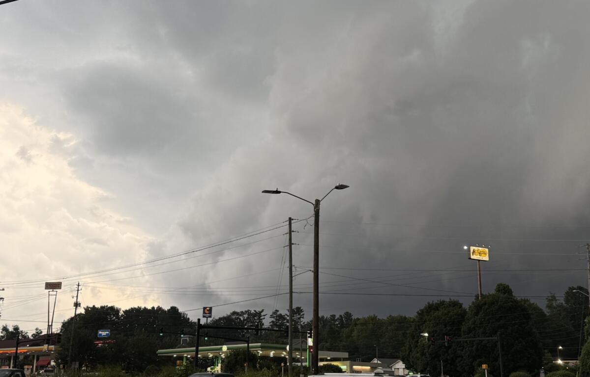

ASHEVILLE, N.C. (828newsNOW) — After a line of powerful storms swept across Buncombe County Tuesday evening, residents woke Wednesday to cooler temperatures, scattered power outages and the cleanup of fallen trees and limbs.
The storms, which brought intense wind, heavy rain and frequent lightning, knocked out power to thousands of Duke Energy customers and prompted reports of downed trees from Asheville to Candler, Alexander, Oakley and areas near Beaver Lake.
As of 7:30 a.m. Wednesday, Duke Energy reported 309 active outages affecting 2,643 customers in Buncombe County out of roughly 154,500 customers served. The utility said crews were continuing to assess damage while working to restore service.
“Storm restoration efforts are underway following severe weather that caused widespread outages,” Duke Energy said in a statement posted on its outage map. “Some of the hardest-hit areas may experience longer restoration times due to extensive damage.”
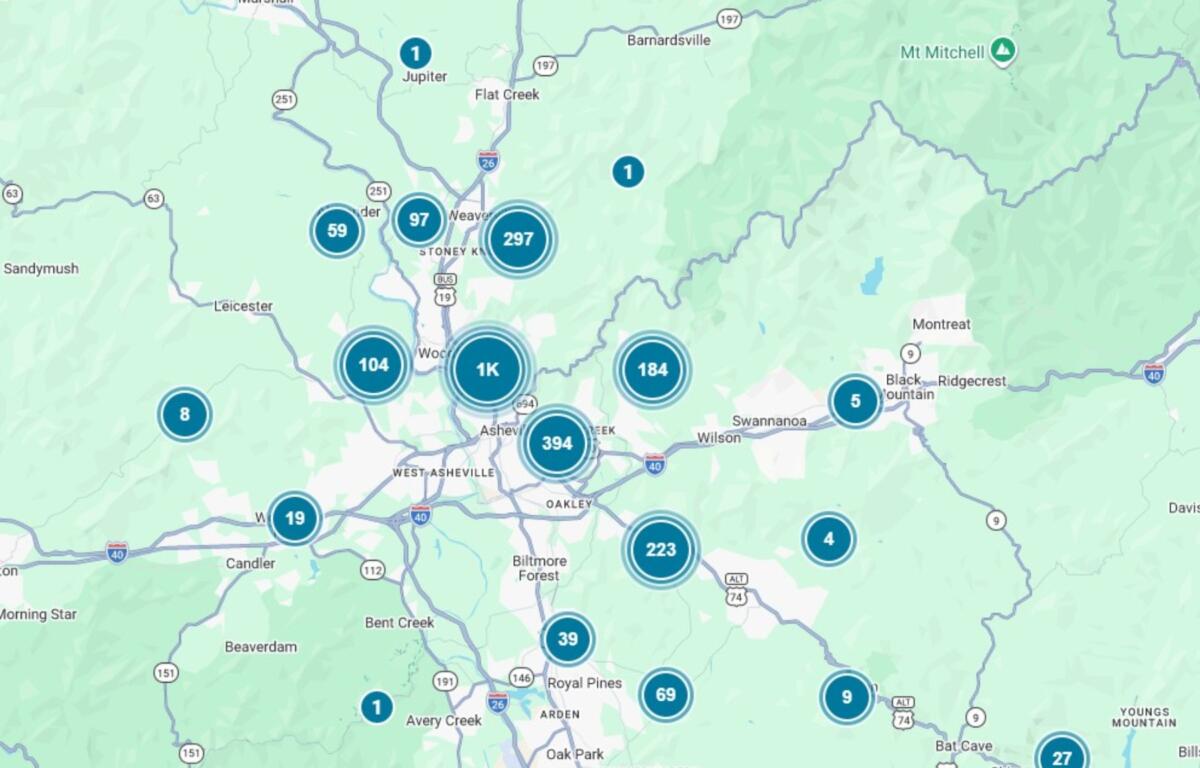
The company urged residents to stay away from downed power lines while crews work to restore electricity.
Residents across the Asheville area described a fast-moving storm that packed unexpectedly strong winds.
One Biltmore Lake resident said swirling winds shook the house for about 30 minutes, bending trees and scattering branches, though no major damage occurred nearby. Others in Haw Creek and South Asheville said the winds were among the strongest they had experienced in years, with several people saying the storm arrived with little warning after calm conditions.
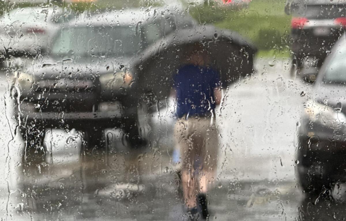
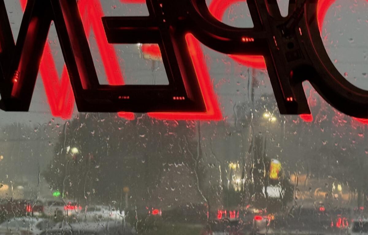
In East Asheville, residents reported rain blowing nearly sideways as strong wind gusts snapped tree limbs and caused power outages. Others in the Beaver Lake area reported several large trees blocking streets.
A Candler resident said a funnel cloud appeared to be rotating overhead but did not touch down.
The severe weather also disrupted normal activities. At a movie theater in Asheville, patrons said films were temporarily paused and everyone was directed into interior hallways until the storm passed.
Several residents acknowledged that storms have become more stressful since Tropical Storm Helene devastated Western North Carolina in 2024, with some saying Tuesday’s weather brought back difficult memories despite relatively limited damage compared with the historic flooding.
By Wednesday morning, however, conditions had improved dramatically.
The National Weather Service in Greenville-Spartanburg said the cold front responsible for Tuesday’s storms had moved south of the region, allowing cooler, drier air to move into the mountains.
Forecasters expect near-normal temperatures, noticeably lower humidity and little to no chance of rain through Friday.
Rain chances are expected to return this weekend as another weather system approaches from the west. Forecasters said the system could bring additional showers and thunderstorms Saturday through early next week, along with temperatures that remain below normal for late July. If the system stalls over the region, heavy rainfall could become a concern once again.
For now, residents can expect a welcome break from the heat and humidity while cleanup and power restoration efforts continue across Buncombe County.