


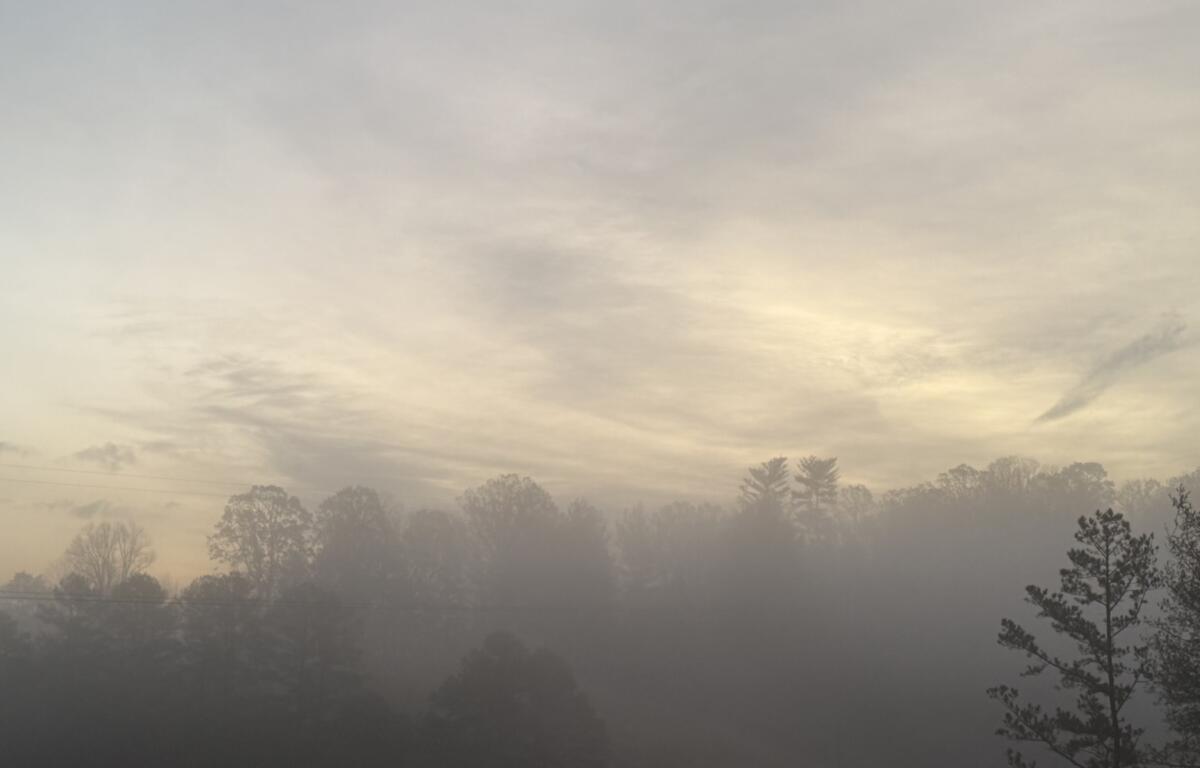

ASHEVILLE, N.C. (828newsNOW) — Fog rolled into the Asheville area again Tuesday morning, softening the mountains and turning familiar roads into a hazy, gray scene.
Two foggy mornings in a row might be enough to get some Asheville-area residents thinking about winter.
But before you start counting snow days, remember: That connection comes from Appalachian weather folklore, not science.
For generations, an old saying has circulated through the mountains: “For every fog in August, there will be a snowfall the following winter.”
The idea is simple. Count the foggy mornings from Aug. 1 through Aug. 31, and each one supposedly represents a snowfall to come during the winter.
According to the Farmers’ Almanac, though, not every damp or hazy morning counts. The traditional rule calls for fog substantial enough to reduce visibility to less than a mile. Ordinary haze, dew or low clouds don’t make the cut.
And the folklore is particularly interesting around Asheville.
The Farmers’ Almanac says the August fog tradition is considered more applicable in the Mid-Atlantic, Appalachians and Midwest than in areas where fog forms under different conditions.
So, with back-to-back foggy mornings in the mountains, should Asheville start preparing for a snowy winter?
Not so fast.
The Farmers’ Almanac says it respects the tradition but does not use August fog counts in its mathematical long-range forecast. In other words, it’s fun weather lore — not a scientific prediction of how many times snow will fall.
What the fog does tell us
There is a scientific reason Asheville’s valleys can fill with fog on mornings like this.
The National Weather Service’s Greenville-Spartanburg office said Tuesday that persistent low-level moisture is supporting mountain valley fog and low clouds across the region.
The moisture is also part of a larger unsettled weather pattern expected to stick around through the middle of the week.
Scattered to numerous showers and thunderstorms are expected Tuesday afternoon and evening, with some storms capable of producing locally damaging wind gusts, frequent lightning and torrential rainfall.
Heavy rain could also produce isolated flash flooding, particularly where storms repeatedly move over the same areas.
Temperatures are expected to remain below normal for early August before a more typical late-summer pattern returns later in the week.
By Friday and into the weekend, temperatures are expected to warm back toward more typical early-August levels, with highs in the mid-80s to low 90s and scattered afternoon showers and thunderstorms.
And the fog may not be finished yet.
The National Weather Service said persistent low-level moisture could bring another round of low clouds and mountain valley fog Wednesday morning. Patchy fog and low stratus also could develop on additional mornings this week, particularly in mountain valleys and areas that receive heavier rain the previous evening.