


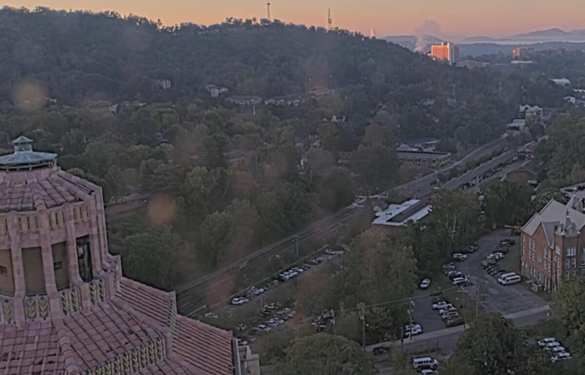

ASHEVILLE, N.C. (828newsNOW) — Keep the umbrella handy if you have outdoor plans this weekend. After a warm, mostly dry end to the workweek, widespread rain and much cooler temperatures are headed for Asheville and Western North Carolina.
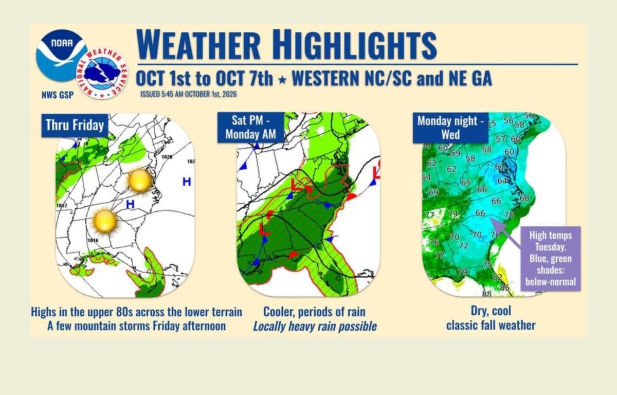
Rain chances will increase Saturday and continue through much of Sunday as a slow-moving front crosses the region, according to the National Weather Service in Greenville-Spartanburg.
Saturday could start fairly warm before showers become more widespread during the afternoon. Asheville has an 80% chance of rain, with thunderstorms possible after 2 p.m. The high is expected to reach about 78 degrees.
Rain is expected to become more widespread Saturday night and continue Sunday, which looks to be the cooler and wetter of the two weekend days. Asheville has an 80% chance of rain Sunday with a high near 69.
The Weather Service said Saturday night into Sunday appears to be the wettest period. Most of the region should receive a soaking rain, with localized heavy rainfall possible.
Forecasters said current guidance does not show a strong signal for widespread heavy rainfall. However, some showers could be efficient rain producers, meaning locally heavier amounts are possible.
Thunderstorms also can’t be ruled out, particularly across the southwestern North Carolina mountains, including the Smokies and Balsams.
The rain comes after a relatively dry September in Asheville. Asheville recorded 2.08 inches of rain during the month, 2.05 inches below normal. Since Jan. 1, Asheville has received 34.95 inches of precipitation, 3.37 inches below normal.
Before the weekend change, Thursday and Friday will feel more like summer than early October.
Areas of fog Thursday morning should give way to sunshine, with a high near 85 in Asheville. Friday could be even warmer, with a high near 87 and a 30% chance of showers and thunderstorms, mainly late in the day.
Temperatures across the region are expected to run about 8 to 12 degrees above normal through Friday, according to the Weather Service.
Cooler air will settle into the mountains Saturday, helping keep temperatures down as clouds and rain spread across the region. By Sunday, Asheville’s forecast high of 69 would be nearly 20 degrees cooler than Friday’s expected high.
The rain should begin tapering off Sunday night, with drier weather expected Monday.
More fall-like weather should settle in by Tuesday and Wednesday. Highs are expected to range from the 60s to lower 70s, with overnight lows in the 40s. Temperatures could fall into the 30s in the highest elevations Tuesday night.