
ASHEVILLE, N.C. (828newsNOW) — Who turned up the heat?
If it feels a little more comfortable today, enjoy it while it lasts. Forecasters say Western North Carolina is getting a brief break from the humidity before summer cranks right back up heading into the weekend.
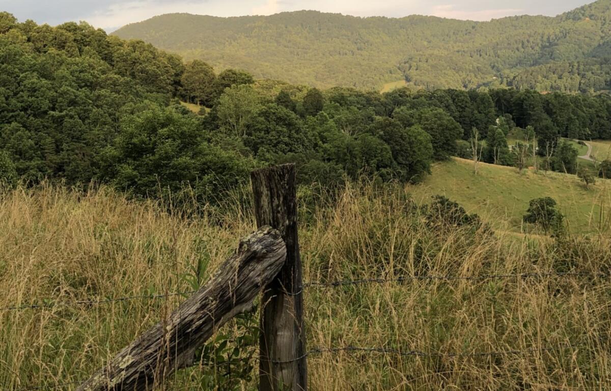
According to the US National Weather Service in Greenville-Spartanburg, high pressure settling over the region is keeping conditions dry and slightly cooler than normal Wednesday, with temperatures running a few degrees below average and mostly sunny skies across the mountains.
For Asheville, that means a high near 82 today, with light winds and just a few passing high clouds. Overnight lows dip to around 60, keeping things comfortable for late June.
Thursday brings a quick warmup, with highs climbing into the upper 80s as the region transitions back toward a more typical summer pattern.
But by Friday, the setup changes.
Moisture returns to the Southeast, and with it, the daily chance for afternoon and evening showers and thunderstorms. Rain chances increase into the weekend, especially across the North Carolina mountains, where pop-up storms will be most likely during the heat of the day.
At the same time, so will the heat.
Highs in Asheville are expected to reach the upper 80s Friday and around 90 degrees Saturday, with similar readings holding through Sunday. While that may not sound extreme on paper, forecasters warn the humidity will make it feel hotter, especially outside the mountains, where heat index values could climb into the upper 90s and near 100 degrees in parts of the Carolinas.
Meteorologists describing the pattern as a “ring of fire” setup say it’s a classic early-summer arrangement: a strong ridge of high pressure builds in, locking in heat and humidity while steering scattered storms around its edges.
That’s also the forecast message echoed by regional forecasters like North Carolina’s Weather Authority and local broadcast meteorologists, who say most days will stay partly to mostly dry, with hit-or-miss afternoon storms rather than widespread rain.
The bottom line: no washout for the weekend, but plenty of heat.
Looking ahead, temperatures are expected to remain in the 80s and 90s early next week, with continued humidity and the potential for more organized storm activity depending on how the high-pressure system positions itself.
For now, forecasters say the advice is simple: stay hydrated, take breaks if you’re outside, and be ready for that classic late-June combo in the South — heat, humidity and a quick afternoon storm that disappears almost as fast as it arrives.